


)


Hiking

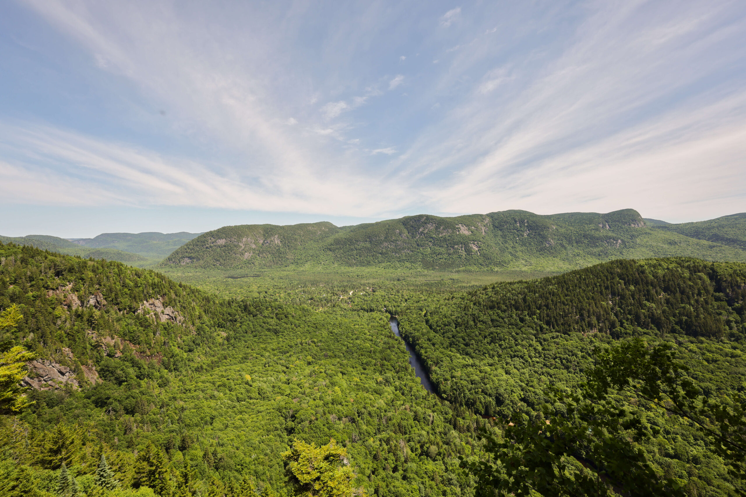
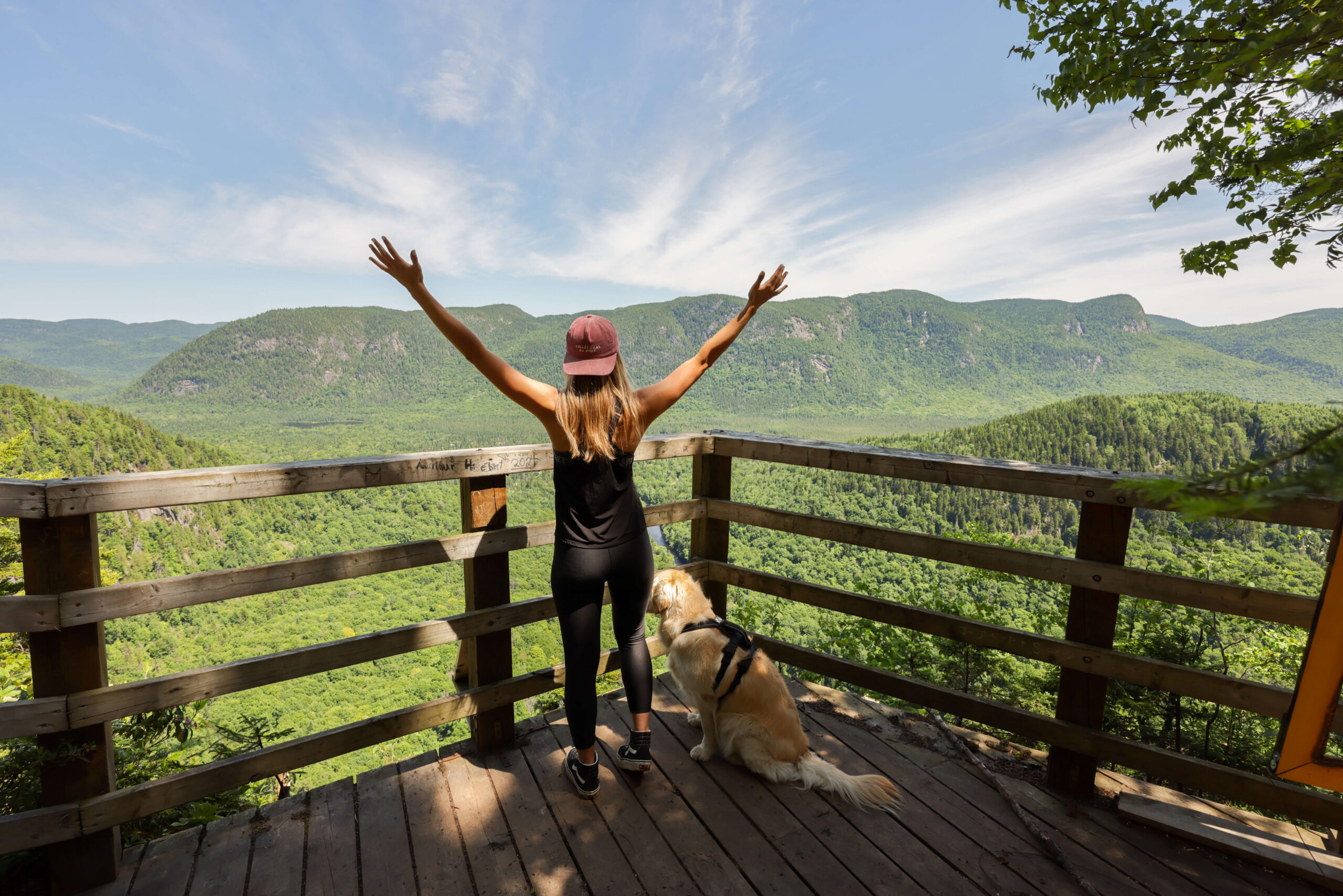
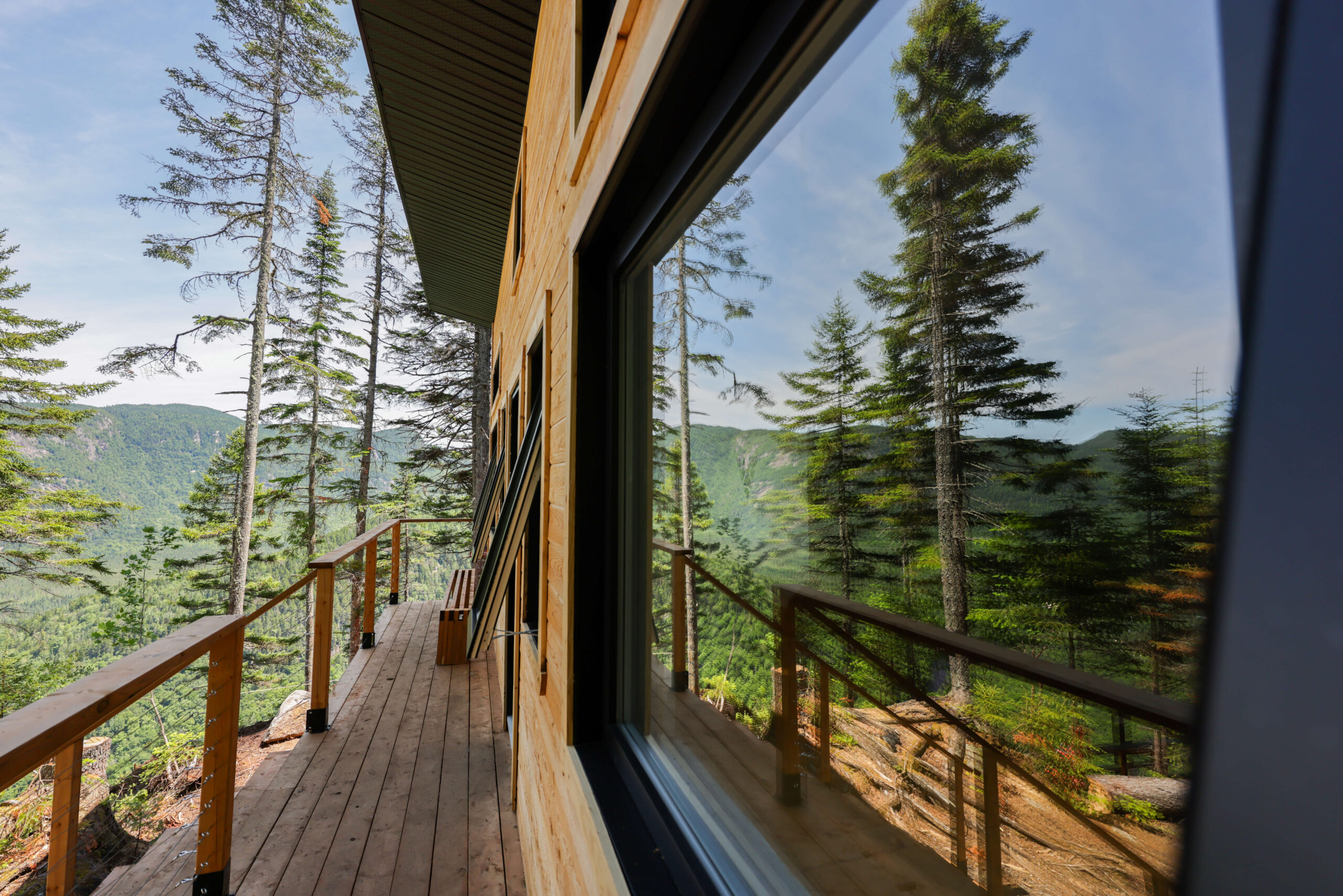
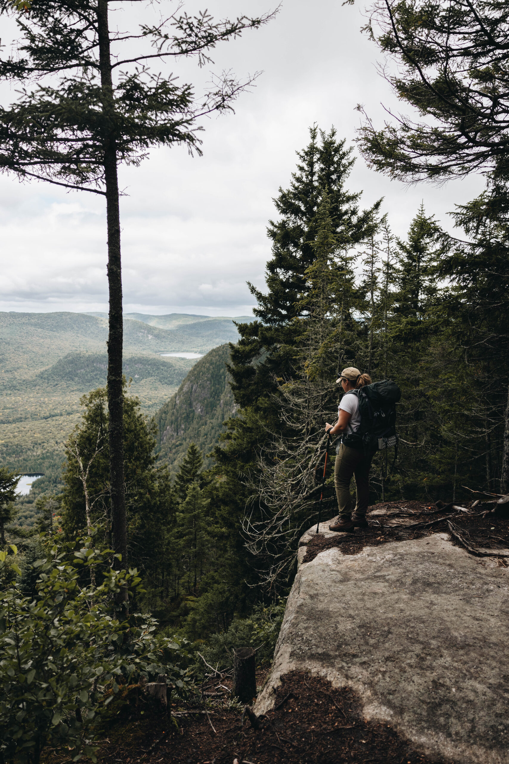
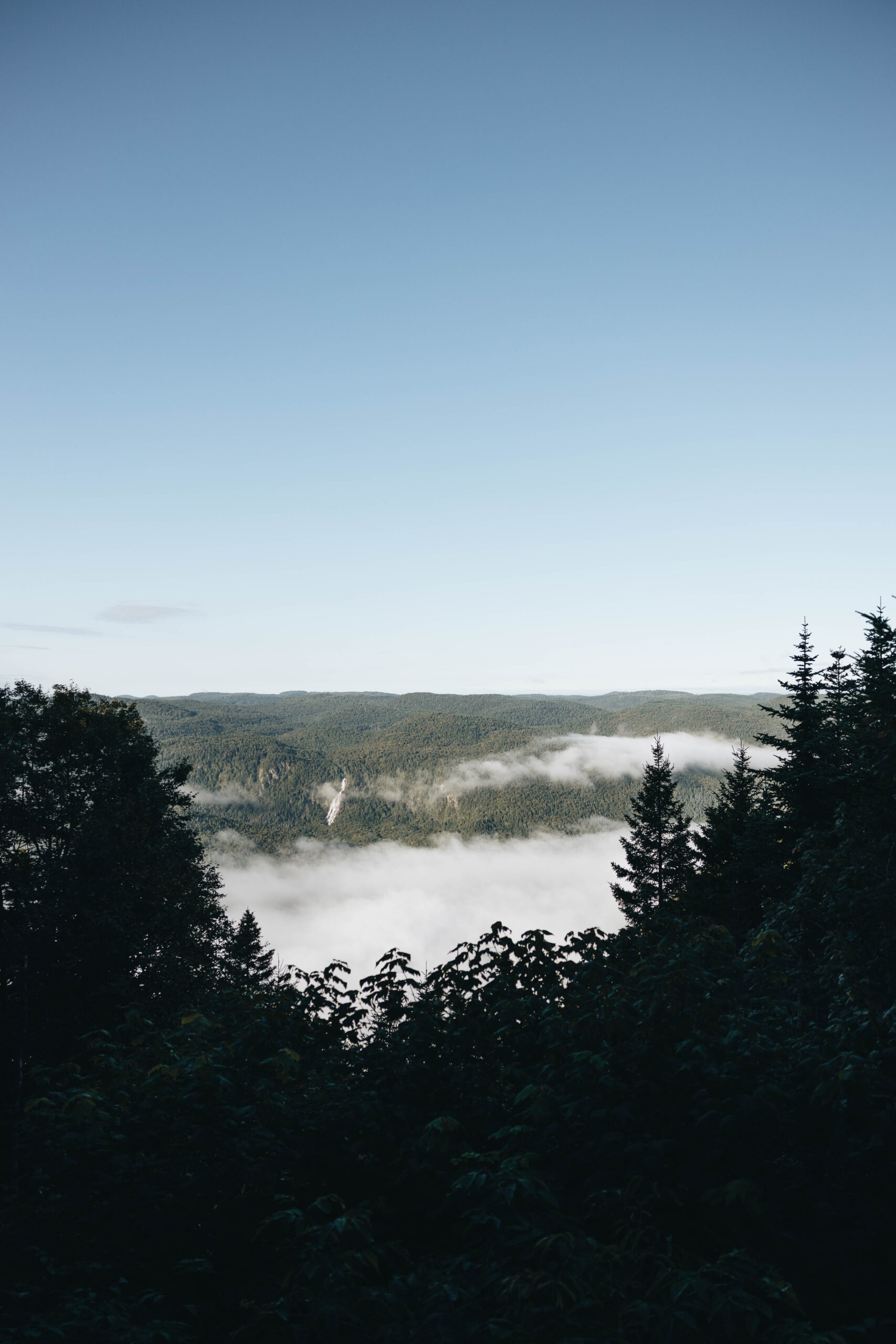
Breathtaking Landscapes!
Combining short and long forest hikes, the different trails are surrounded by breathtaking peaceful and one of a kind point of views
)

Frederic Plumey
9
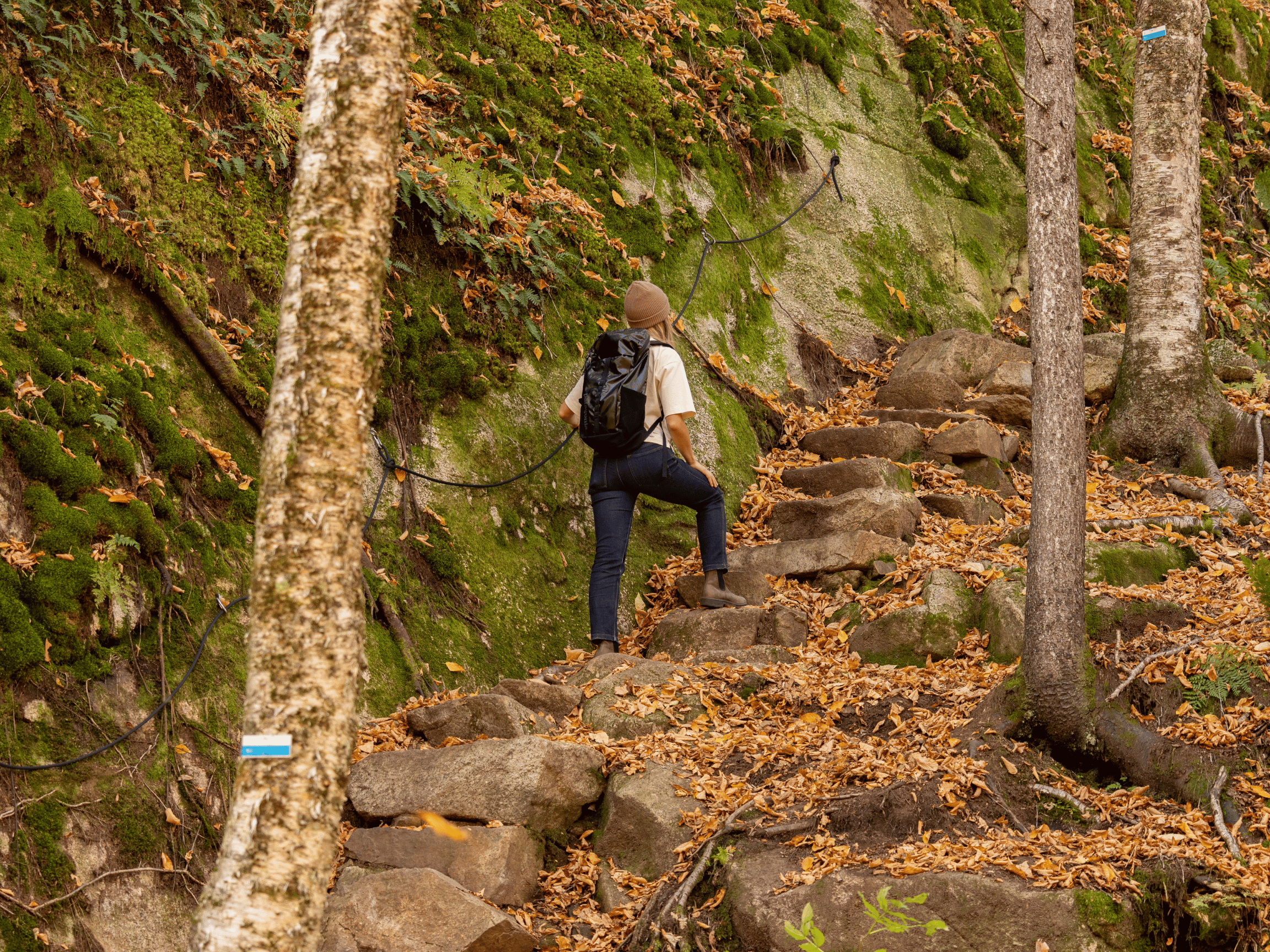
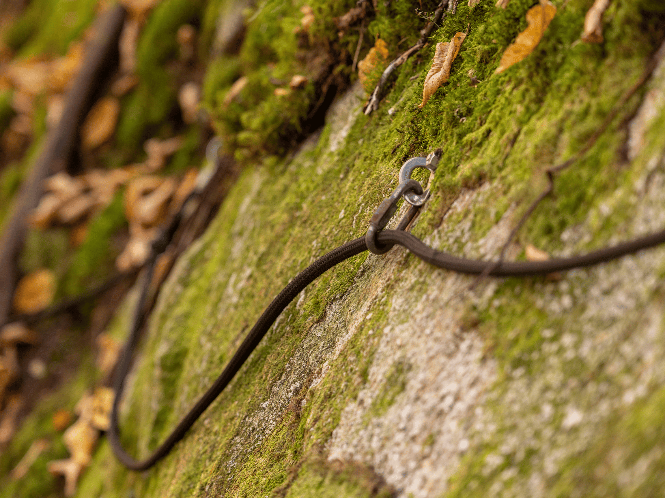
Secured and marked trails
80+
Many KM accessible are year
20+
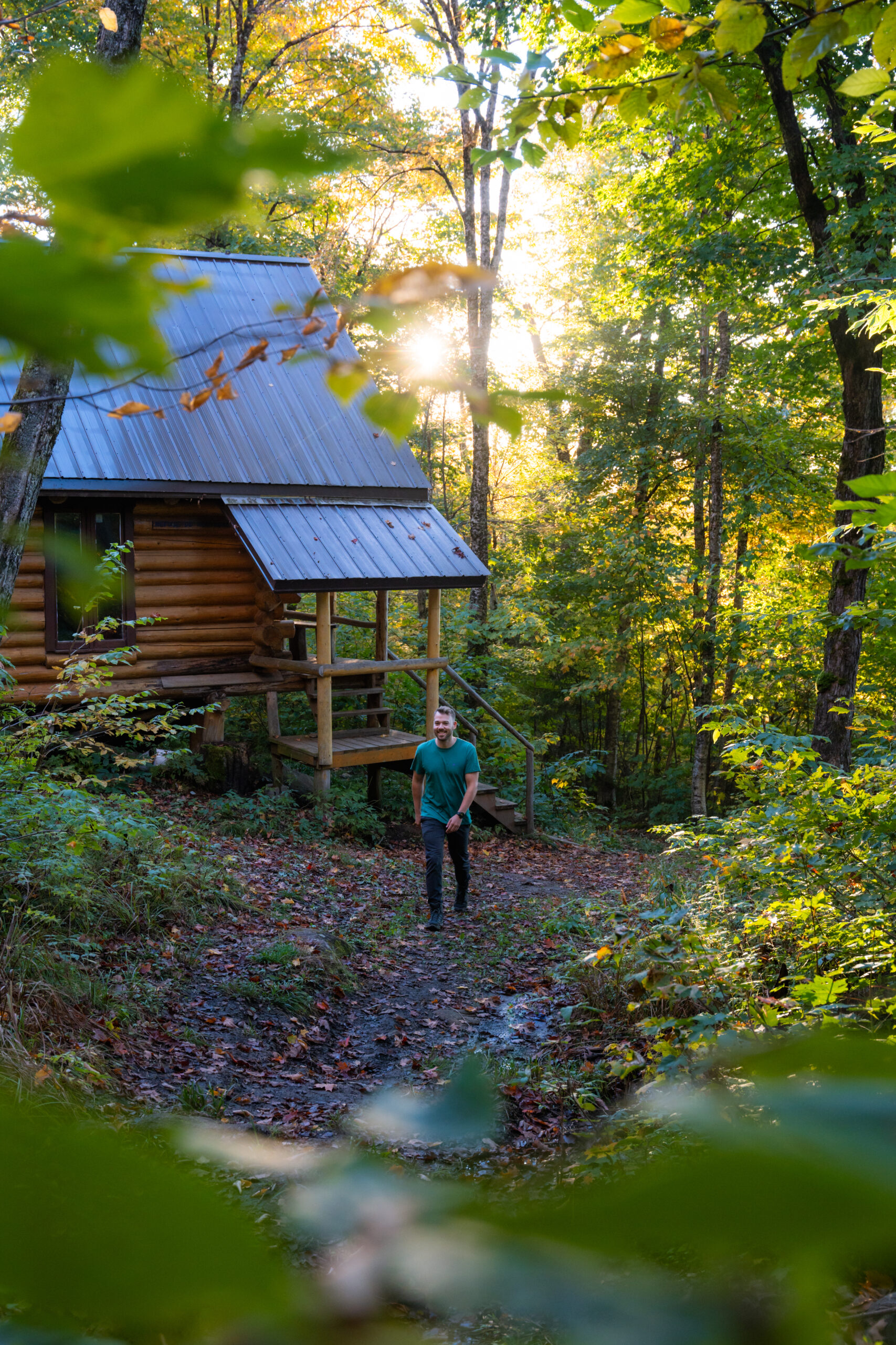
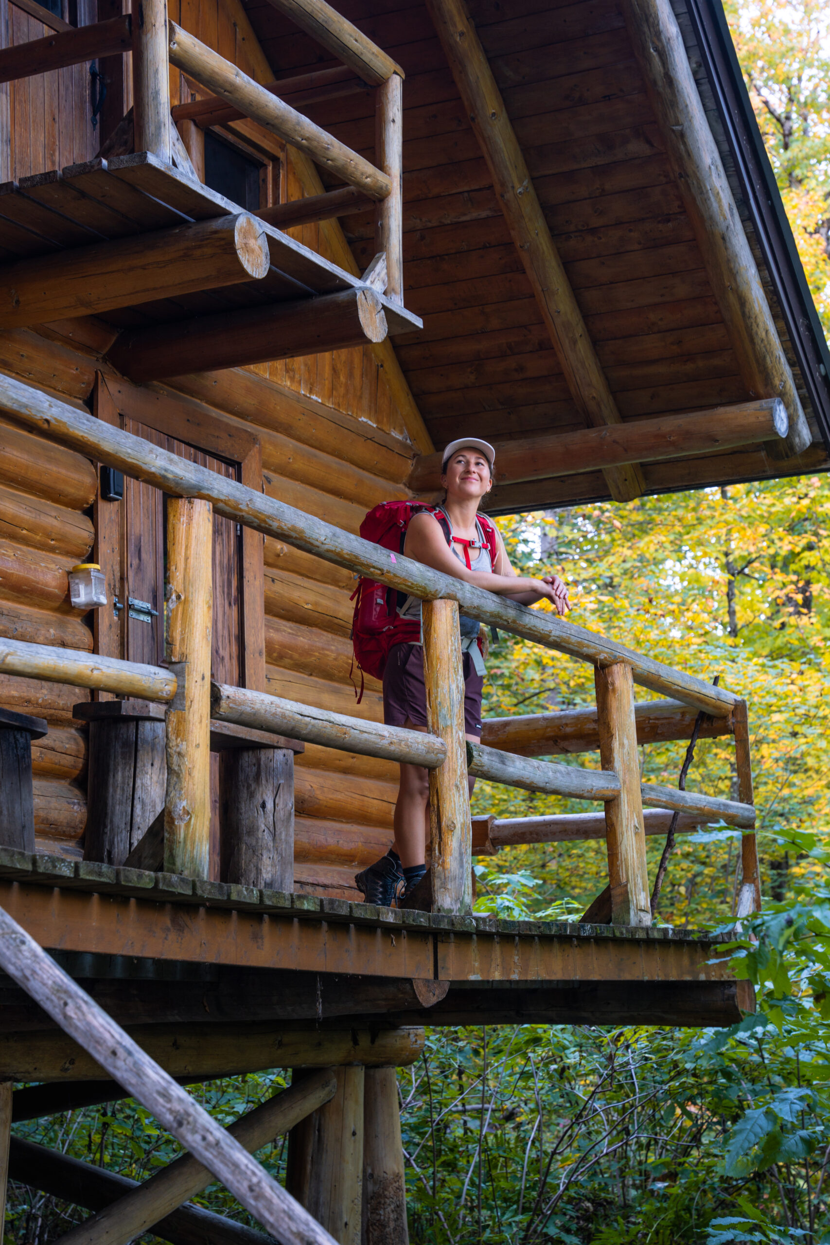
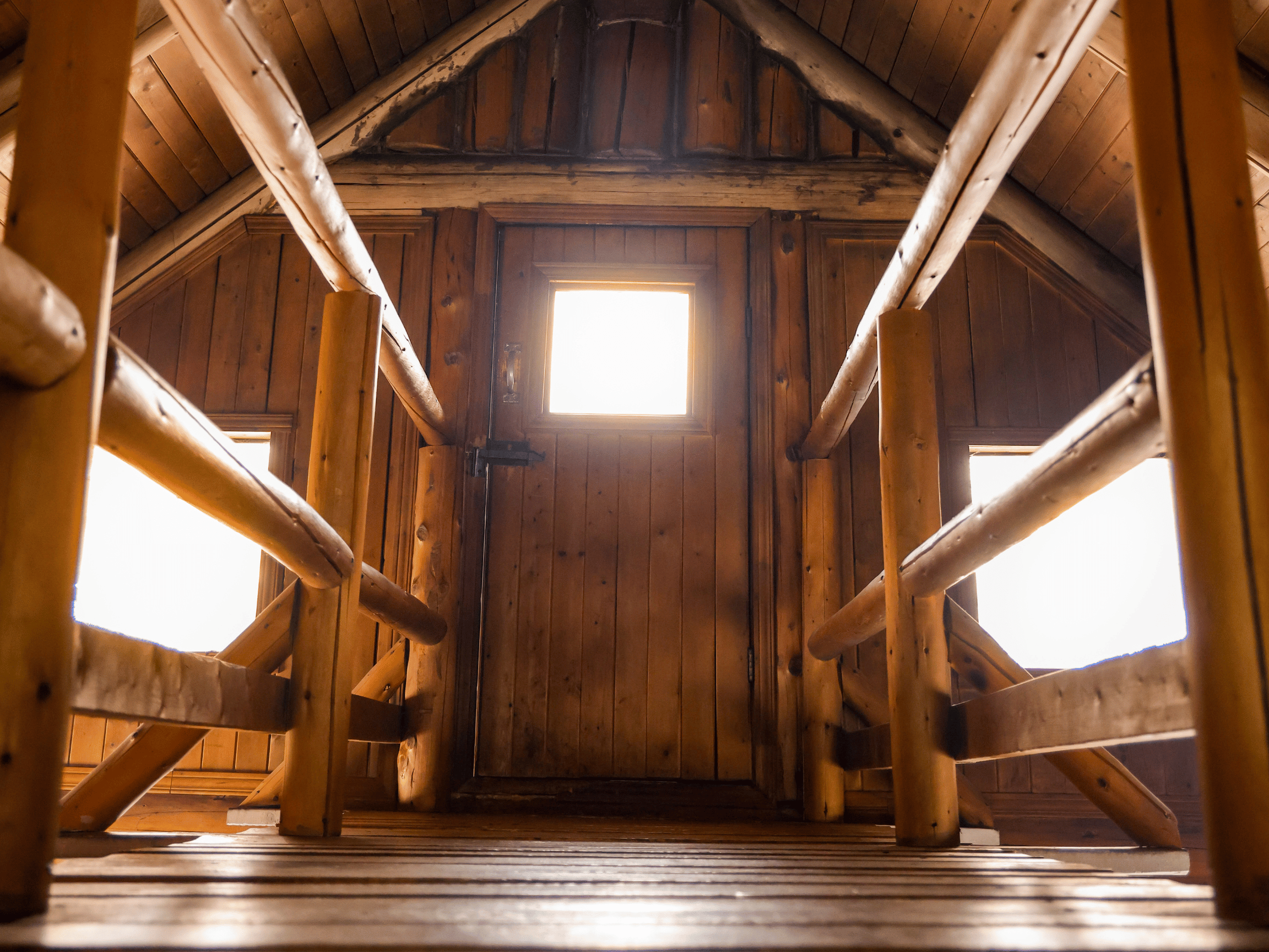
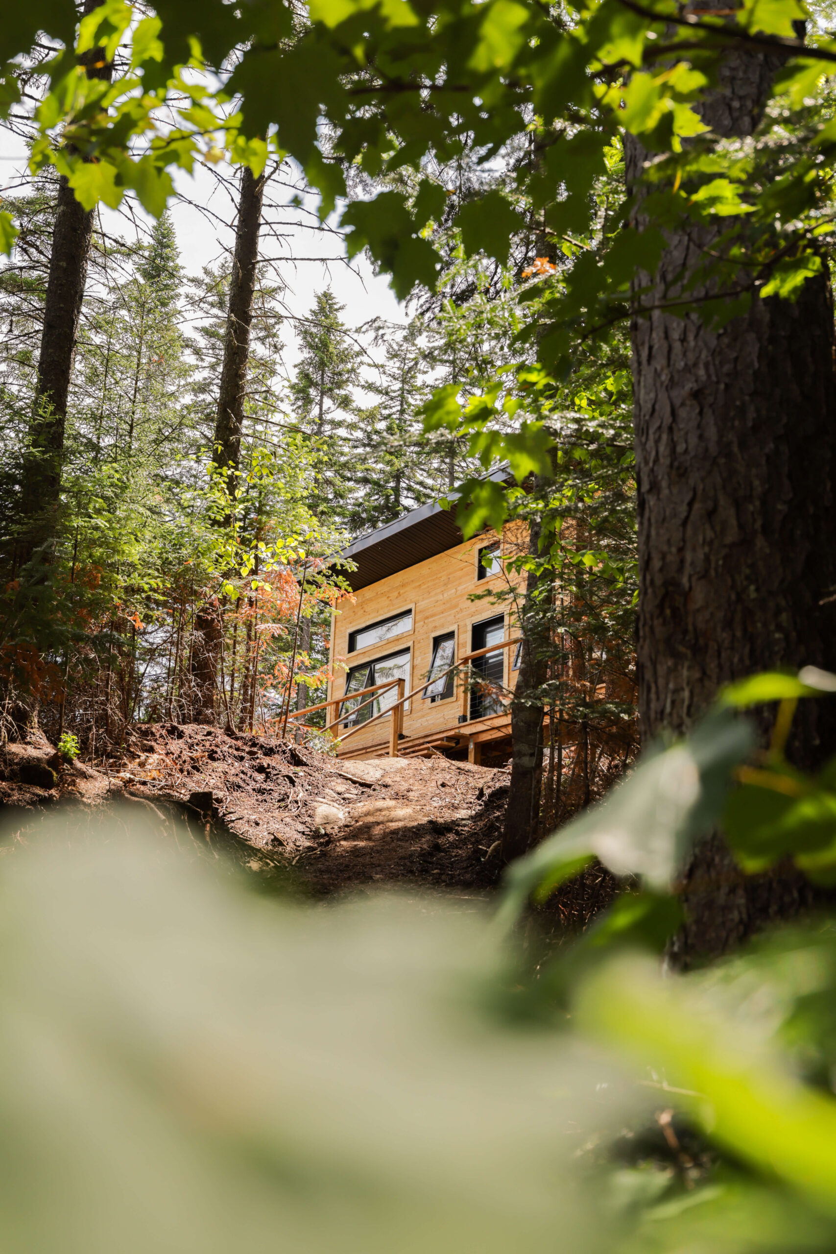
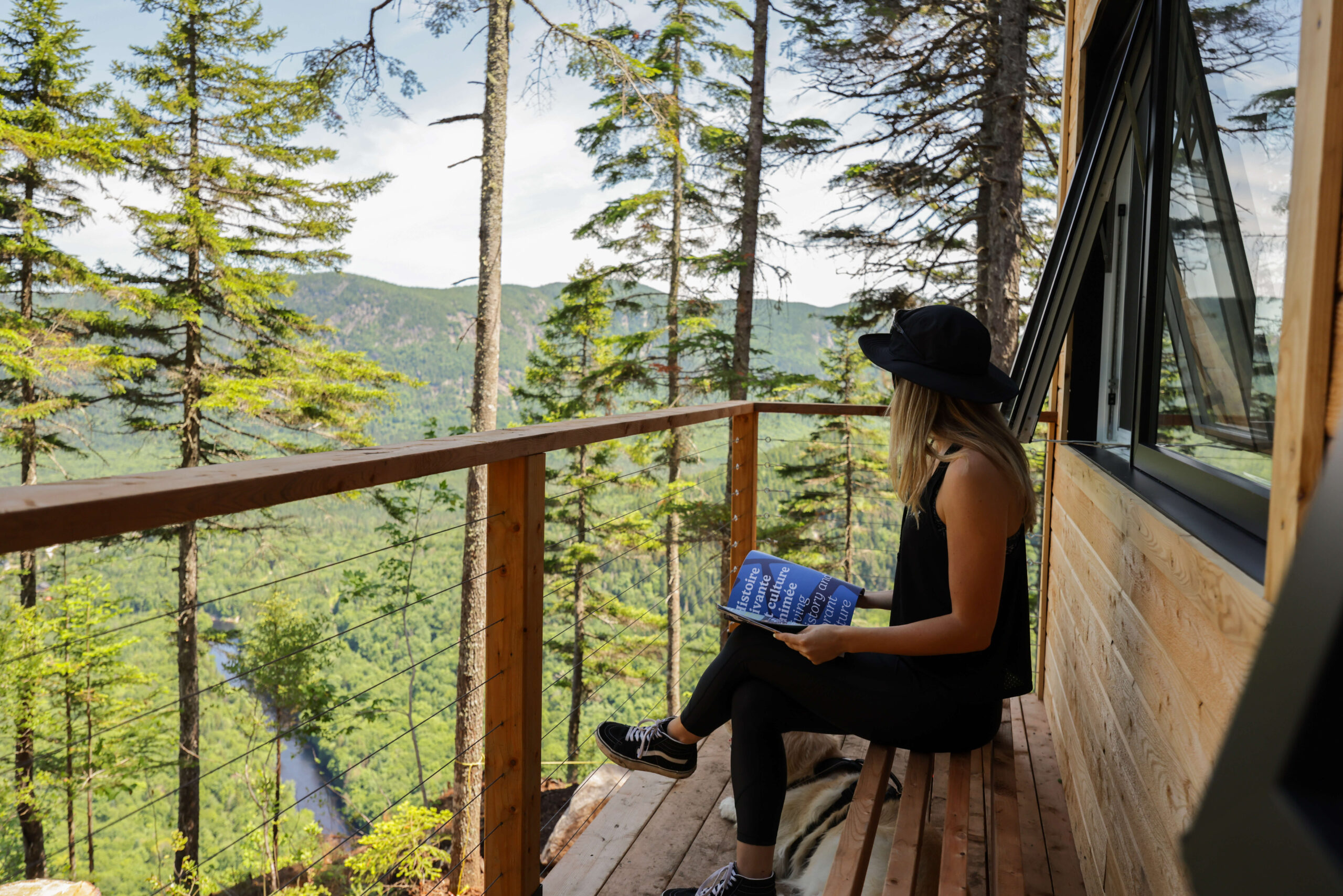
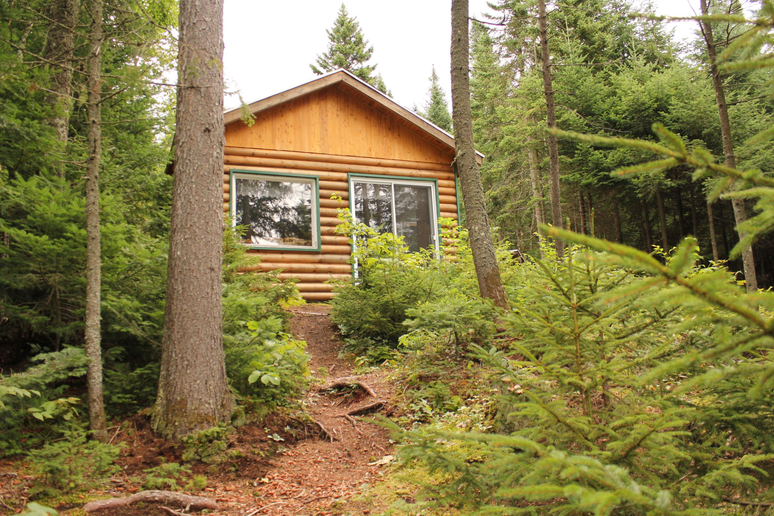
Accommodations available year-round in the region
Our trails
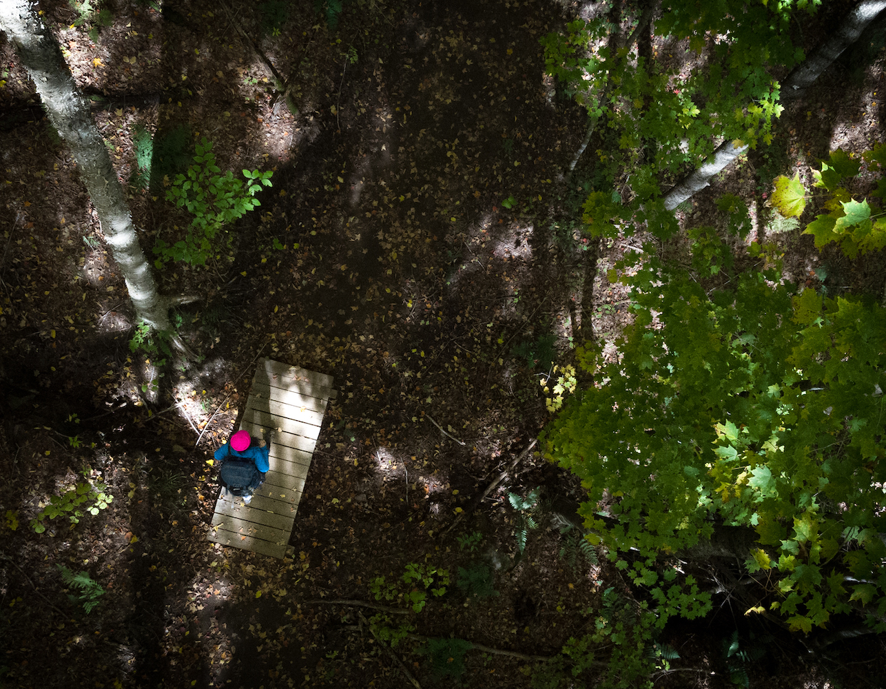
All our trails are strewn with rocks and roots and do not allow the use of baby carriages.
Portable loudspeakers are prohibited.
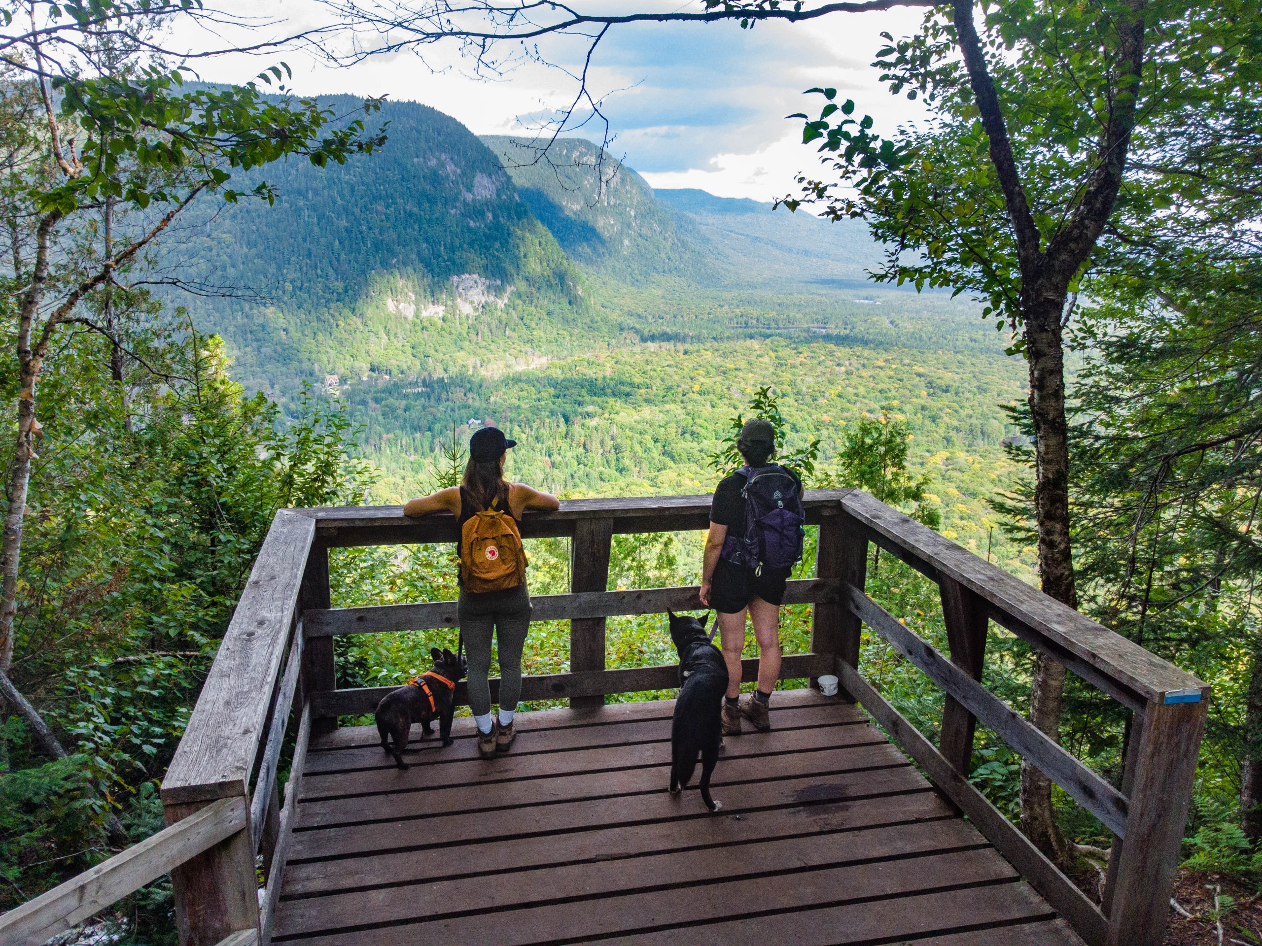
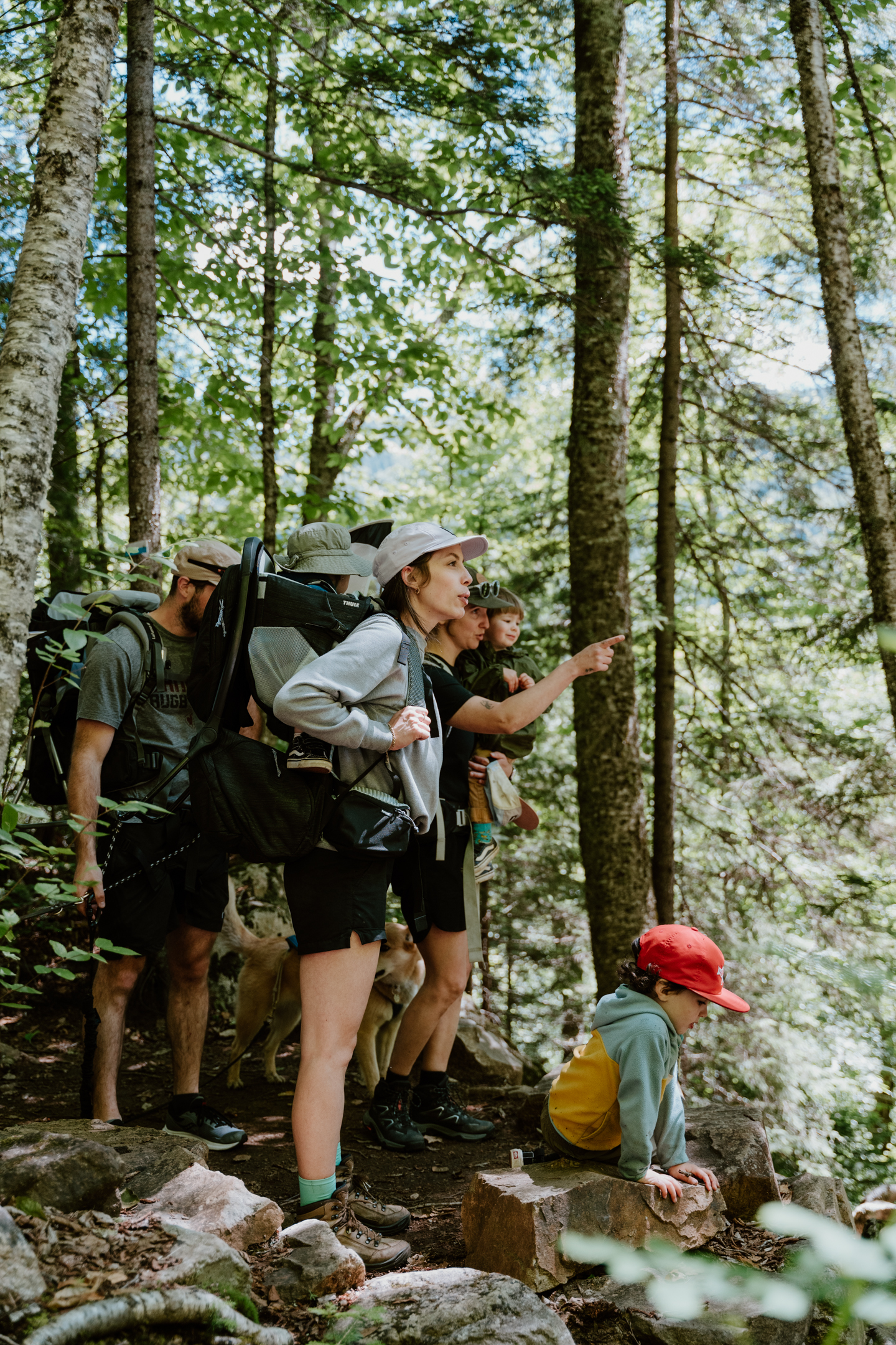
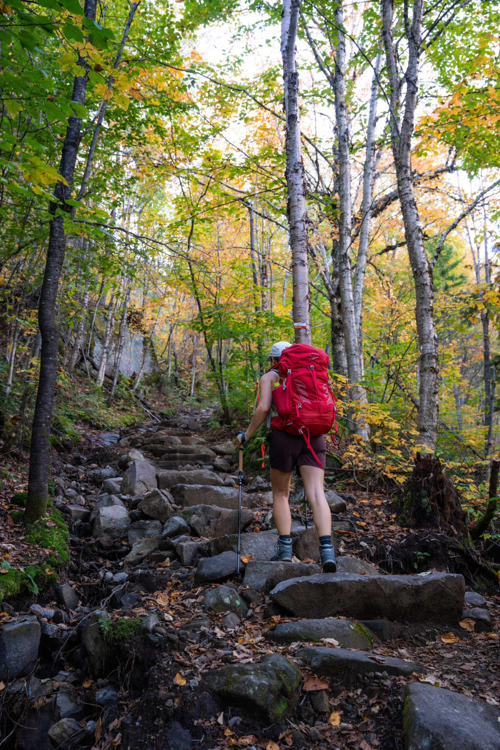
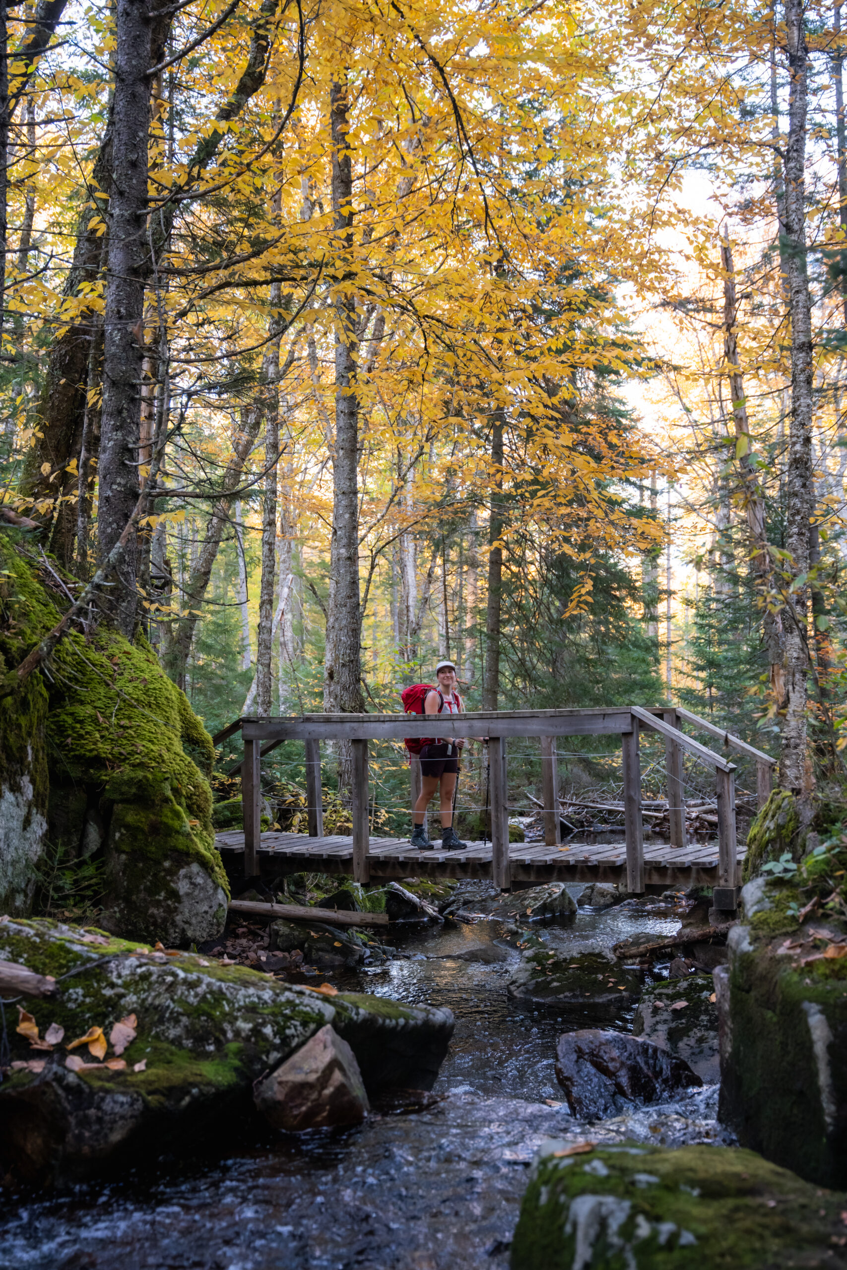
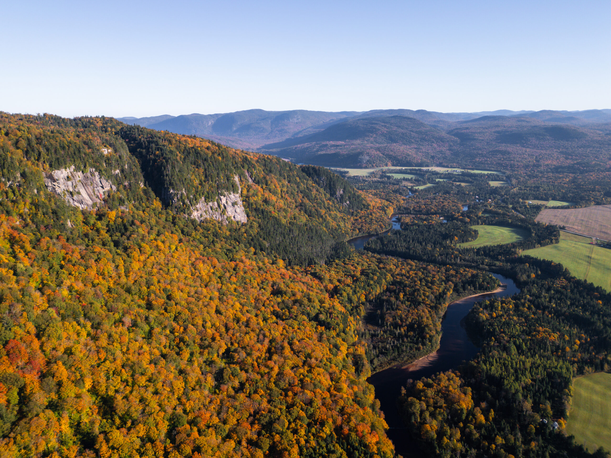
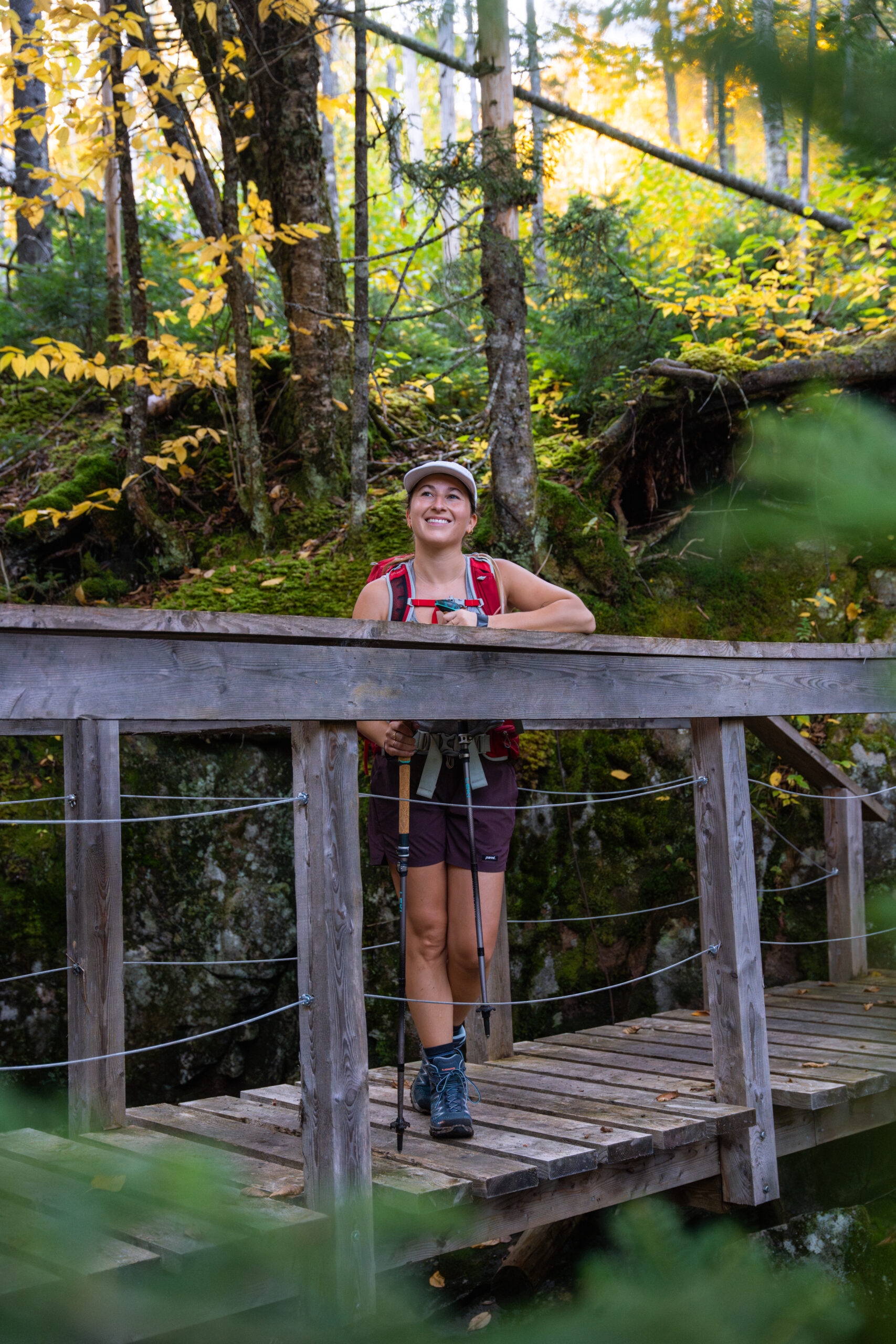
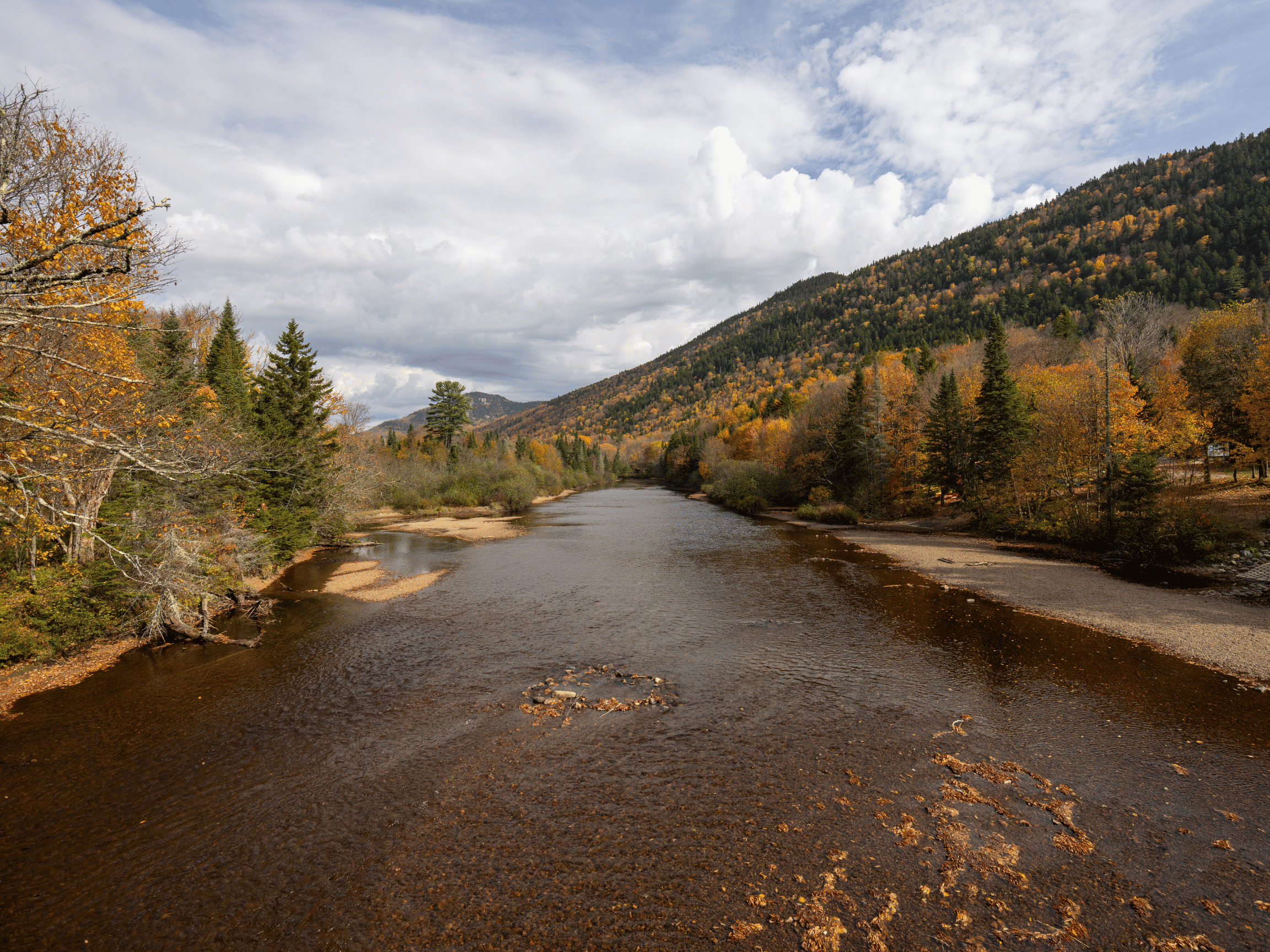
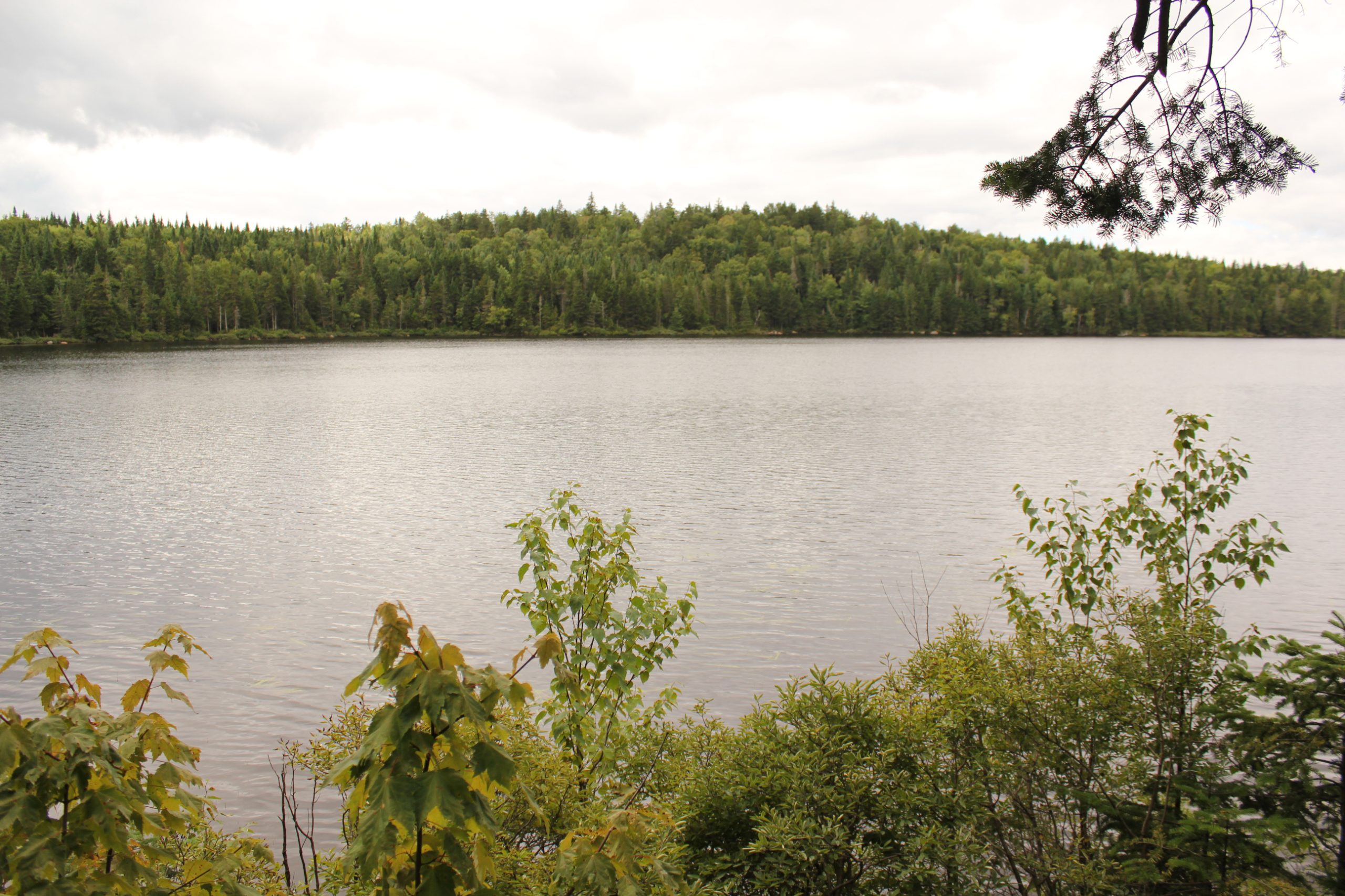
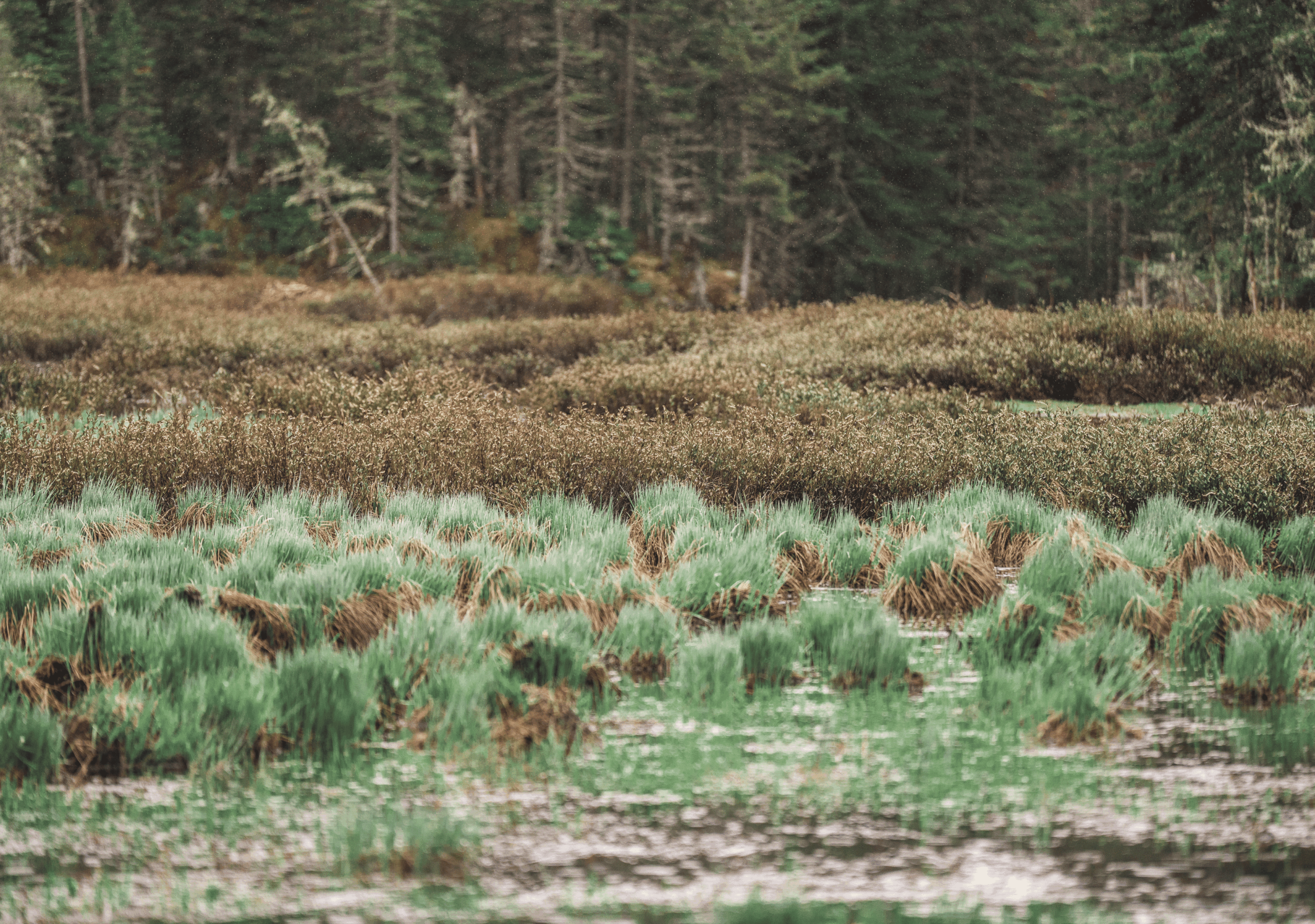
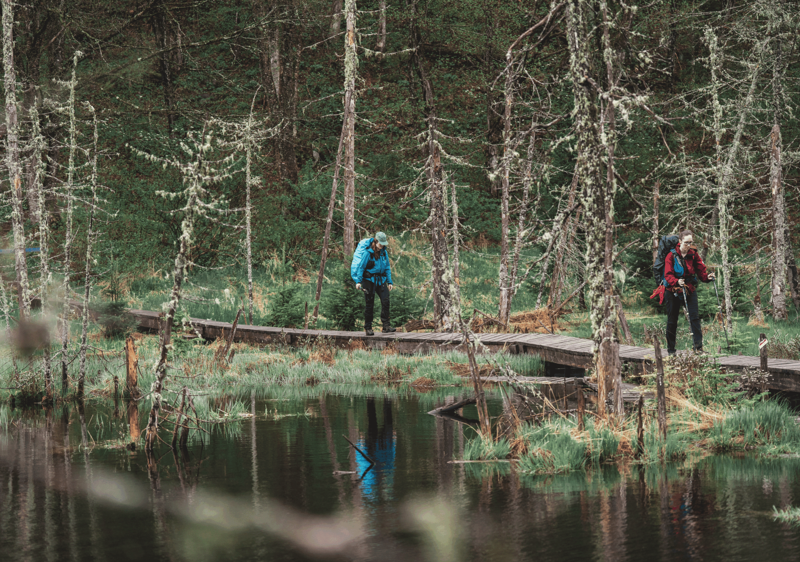
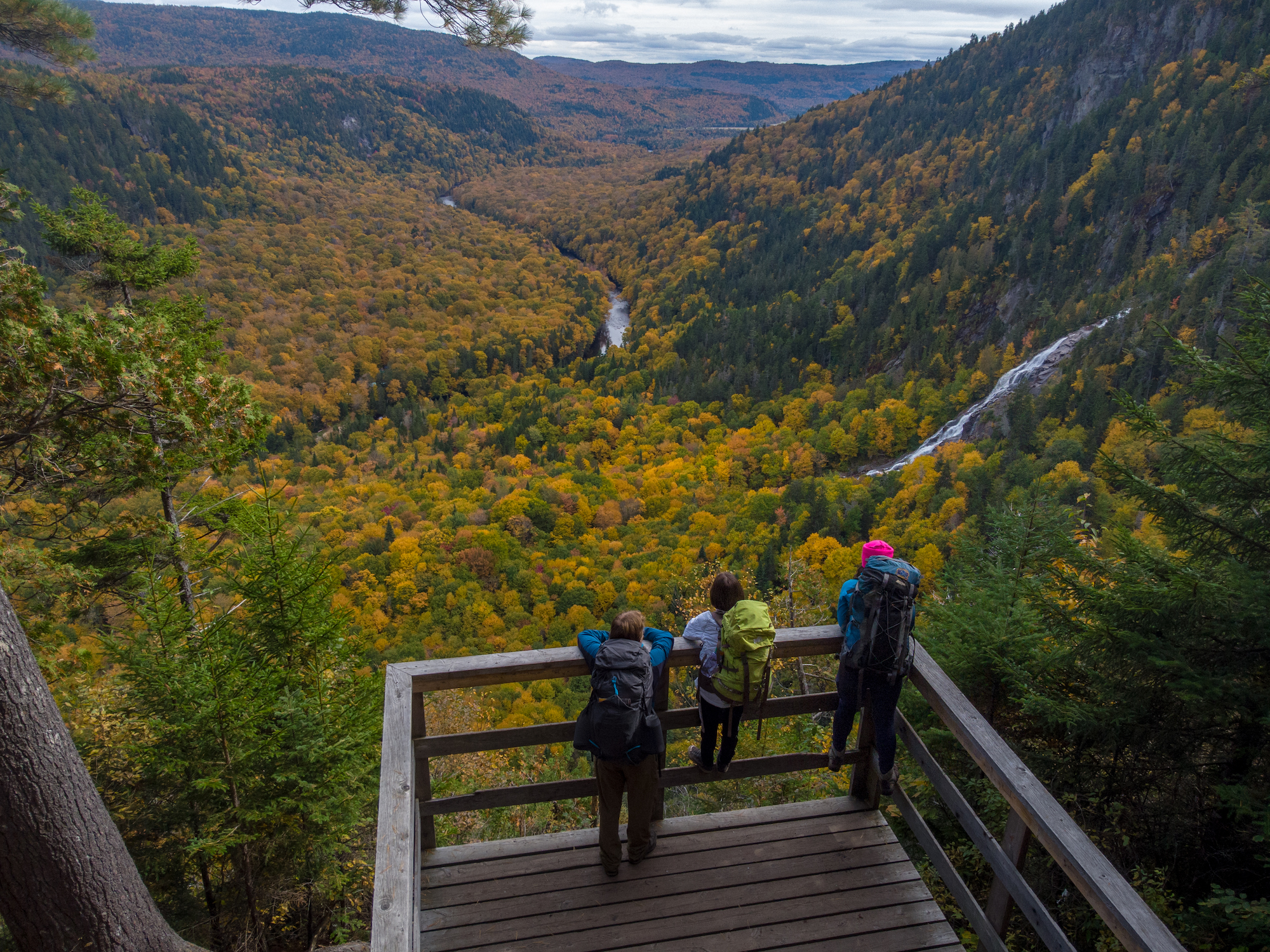
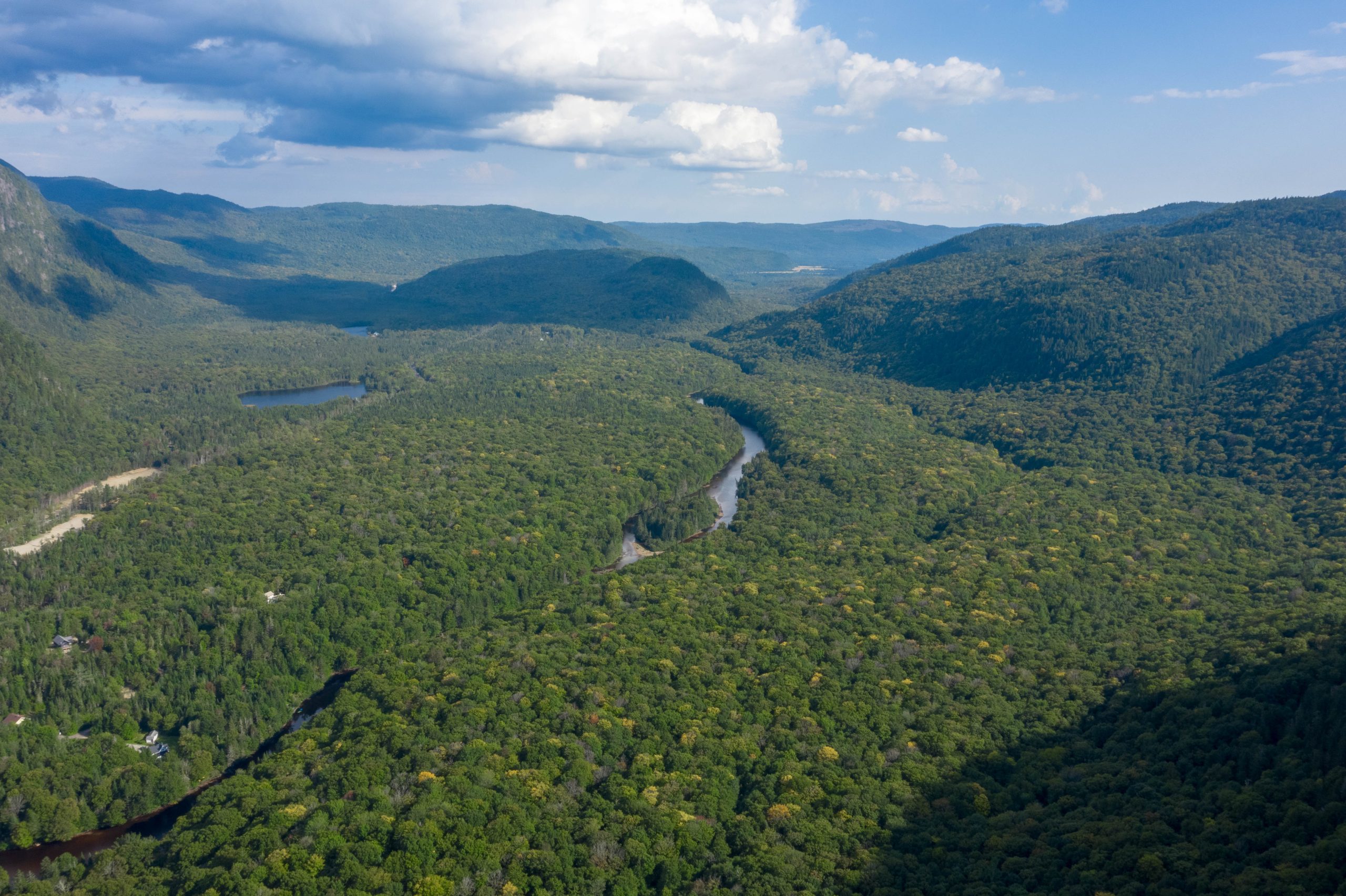
Welcome to Vallée Bras-du-Nord, a majestic territory offering one of the most extensive networks of hiking trails in Quebec. Whether you're a seasoned hiker or a beginner looking for adventure, you'll find trails for all levels.
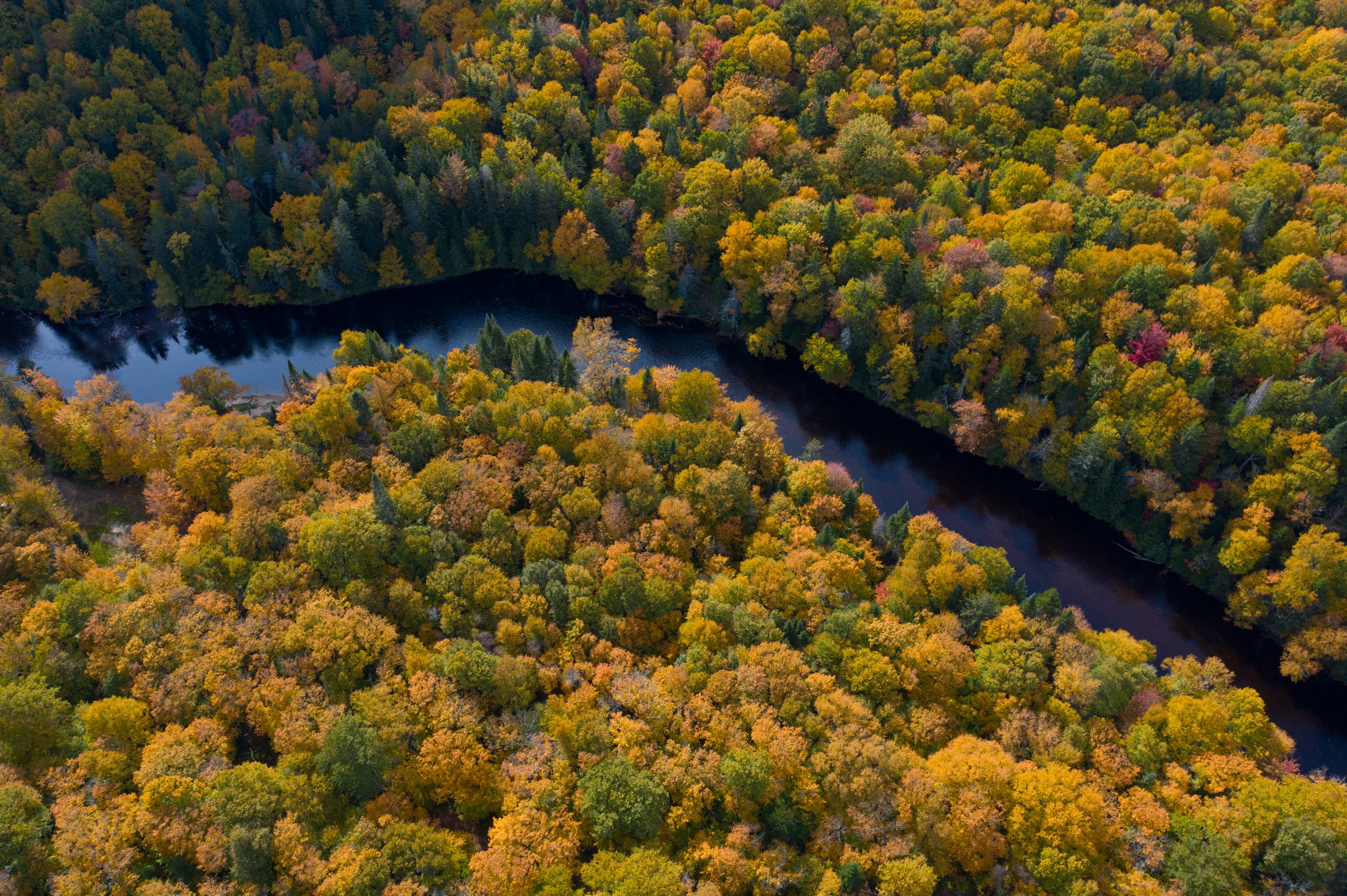
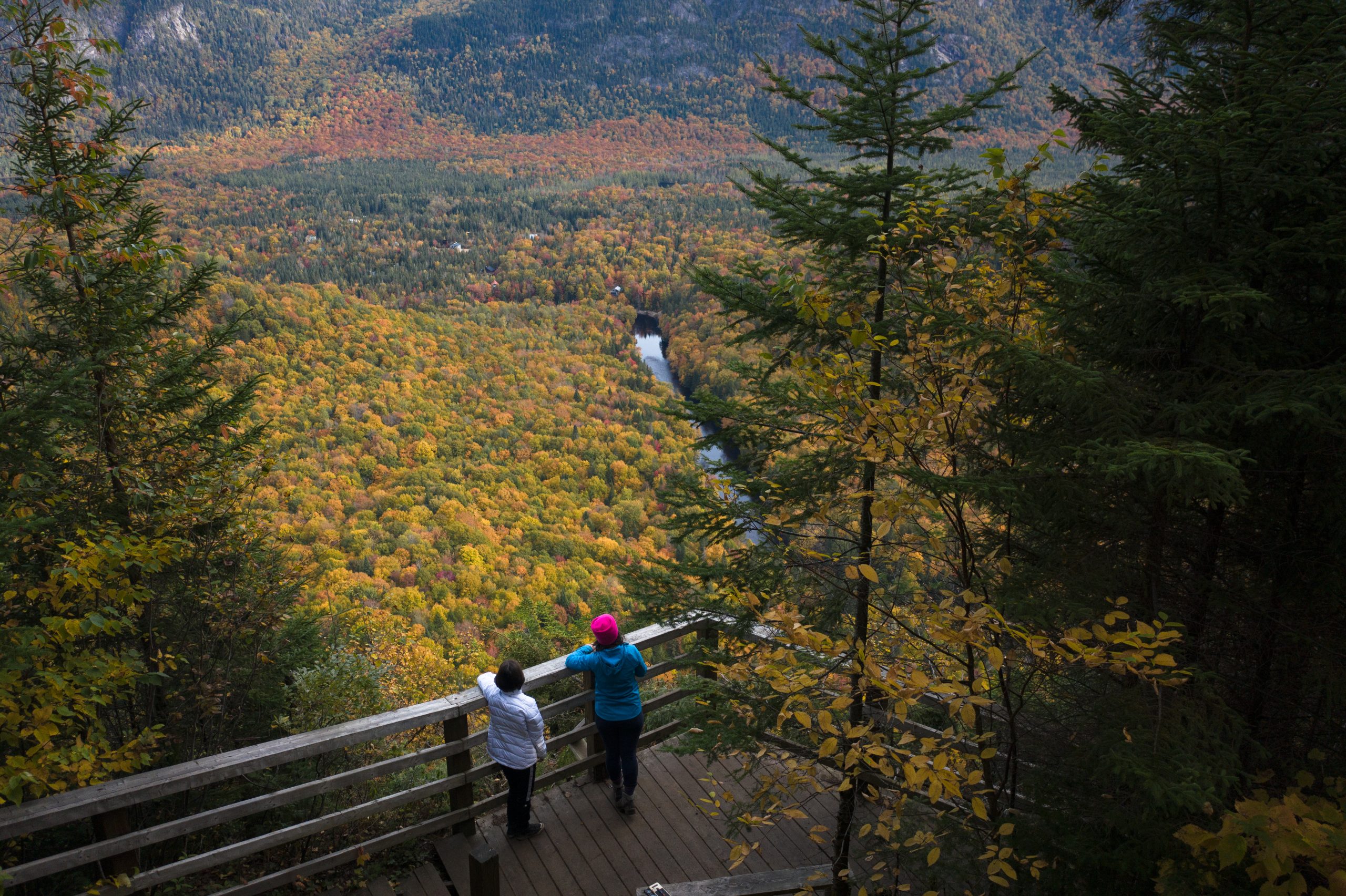
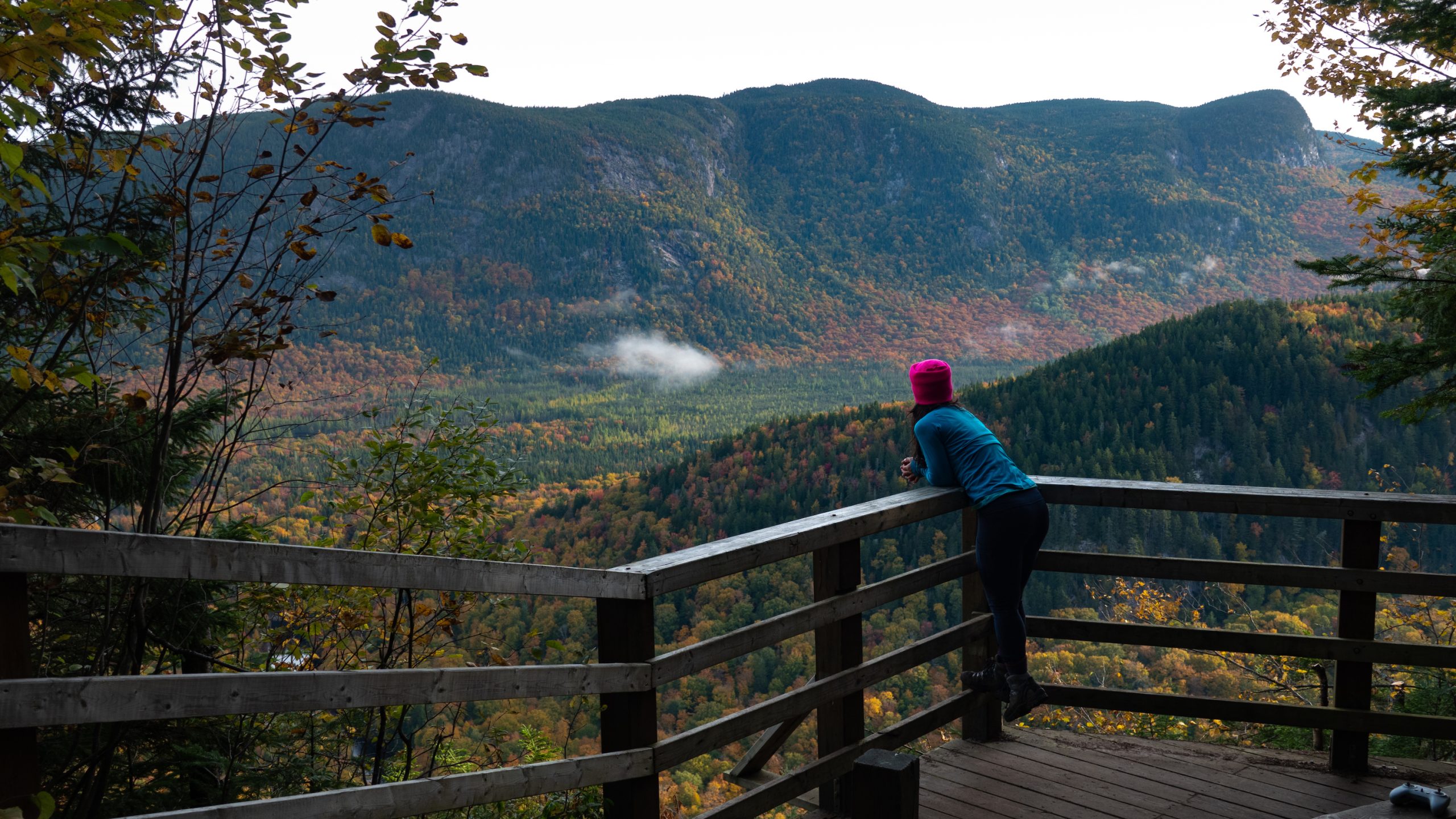
The trails of Vallée Bras-du-Nord invite you to explore breathtaking landscapes, punctuated by breathtaking views of the surrounding mountains. Hikes offer a variety of nature experiences for all tastes, with routes ranging from short strolls to multi-day hikes.
-
Bras-du-Nord Trail
To Delaney Falls
Beginner
7,2 km
63 m
-
Phoenix Trail
Beginner
5,5 km
100 m
-
Hauteur loop Trail
Beginner
7 km
285 m
-
Sentier du Montagnard
Intermediate
7,7 km
315 m
-
Bras-du-Nord Trail
Until Delaney Cabin
Intermediate
13.2 km
361 m
-
Falaises Trail
Advanced
17 km
687 m
-
Philosore Trail
With stops at the L'Orignal and Philosore huts
Advanced
30.2 km
200 m
Bras-du-Nord Trail
To Delaney Falls
7,2 km
63 m
1h45 to 2h45
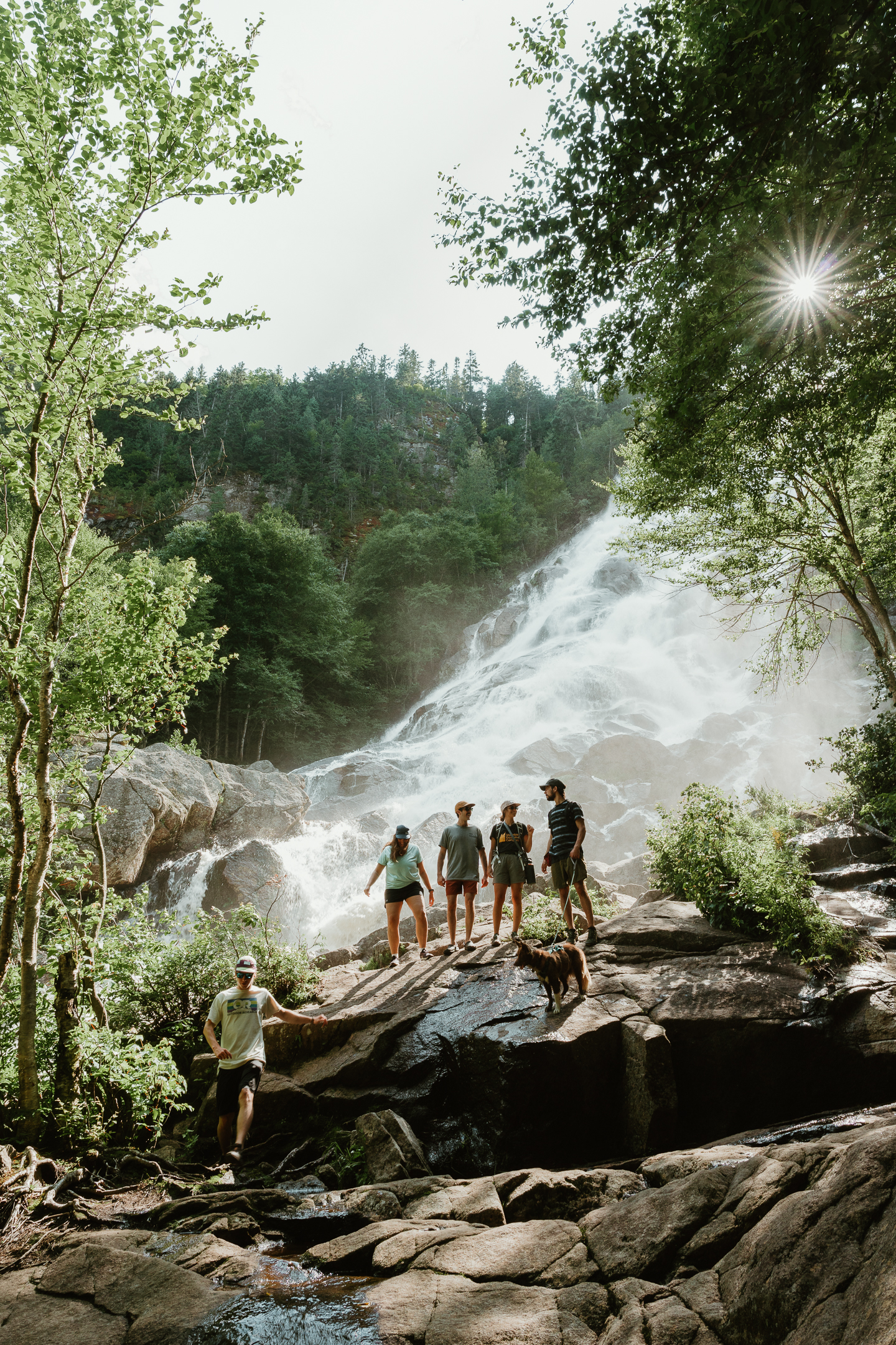
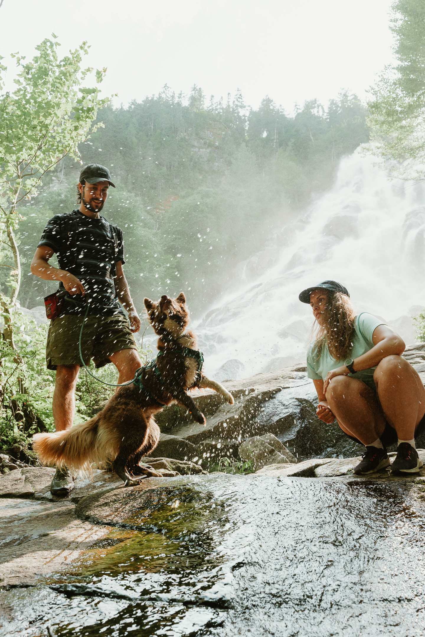
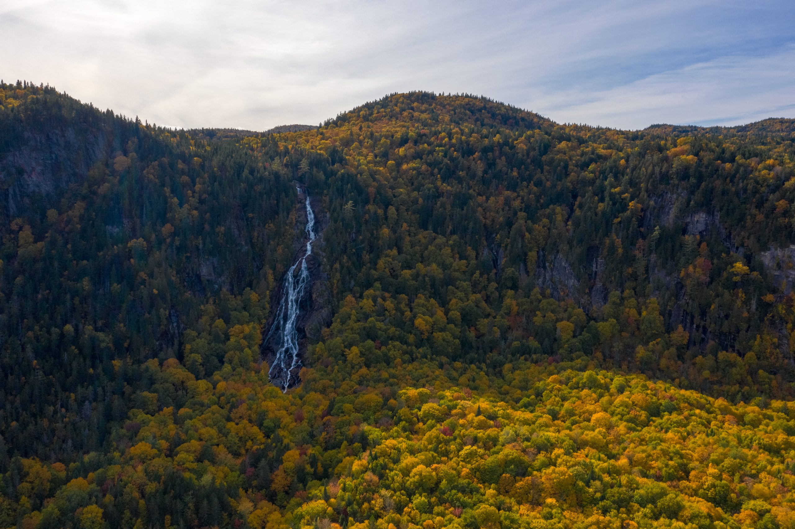
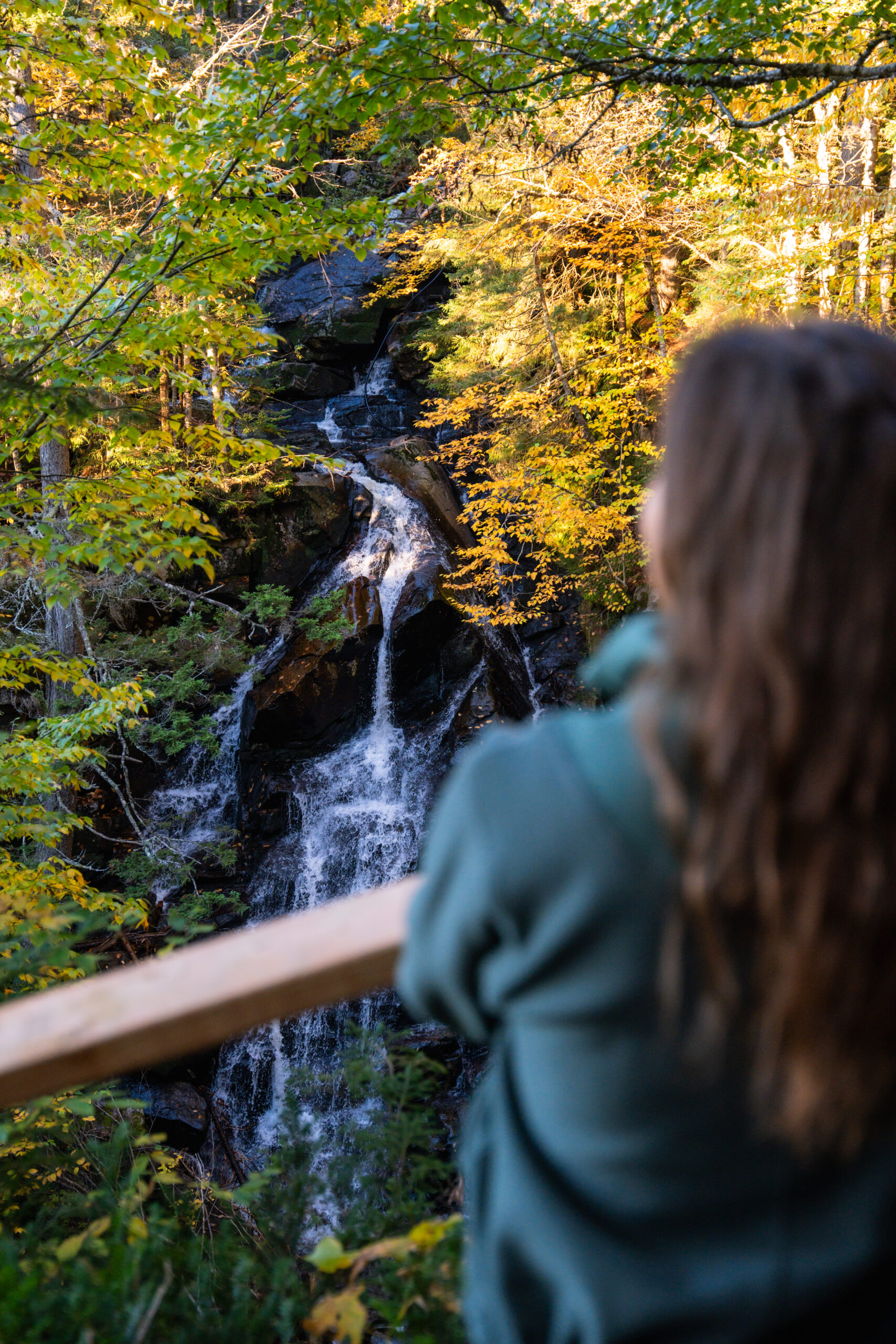
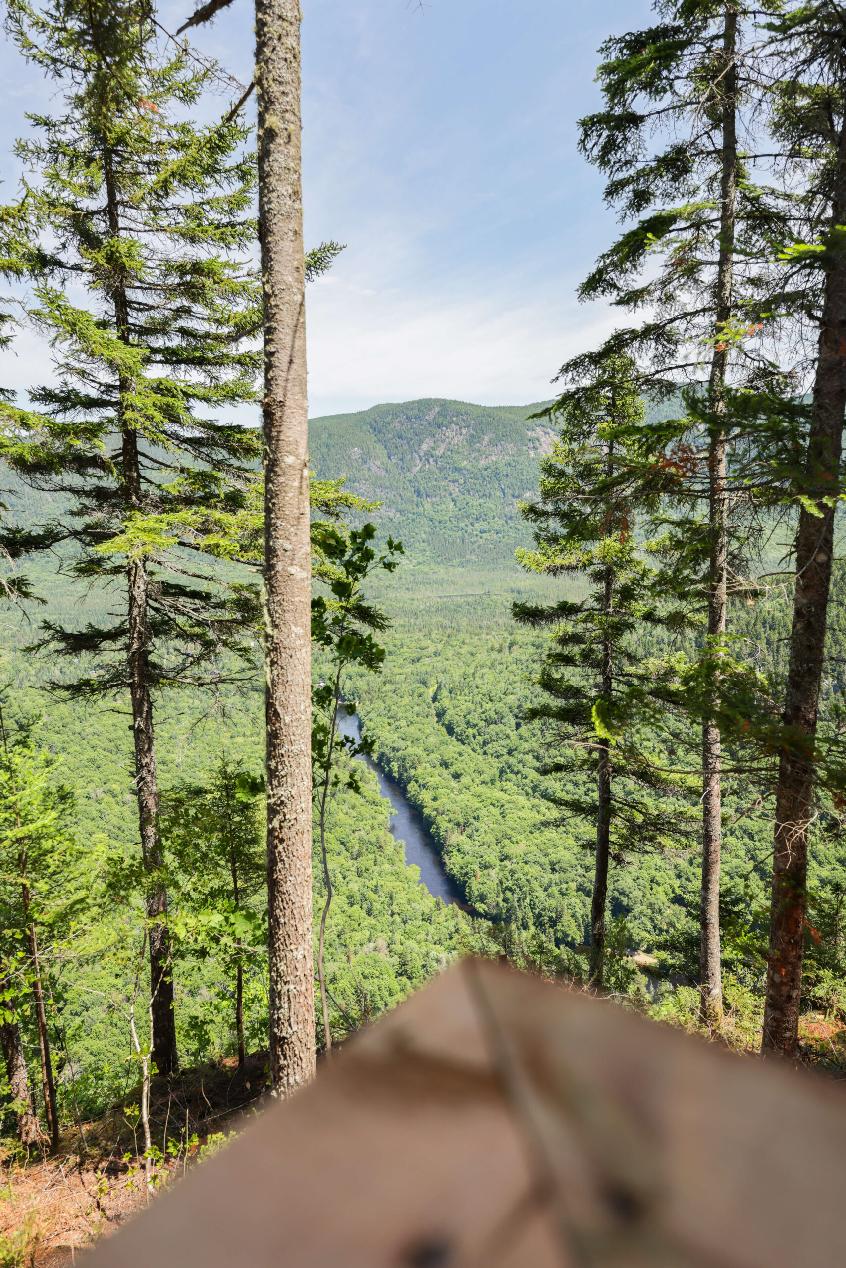
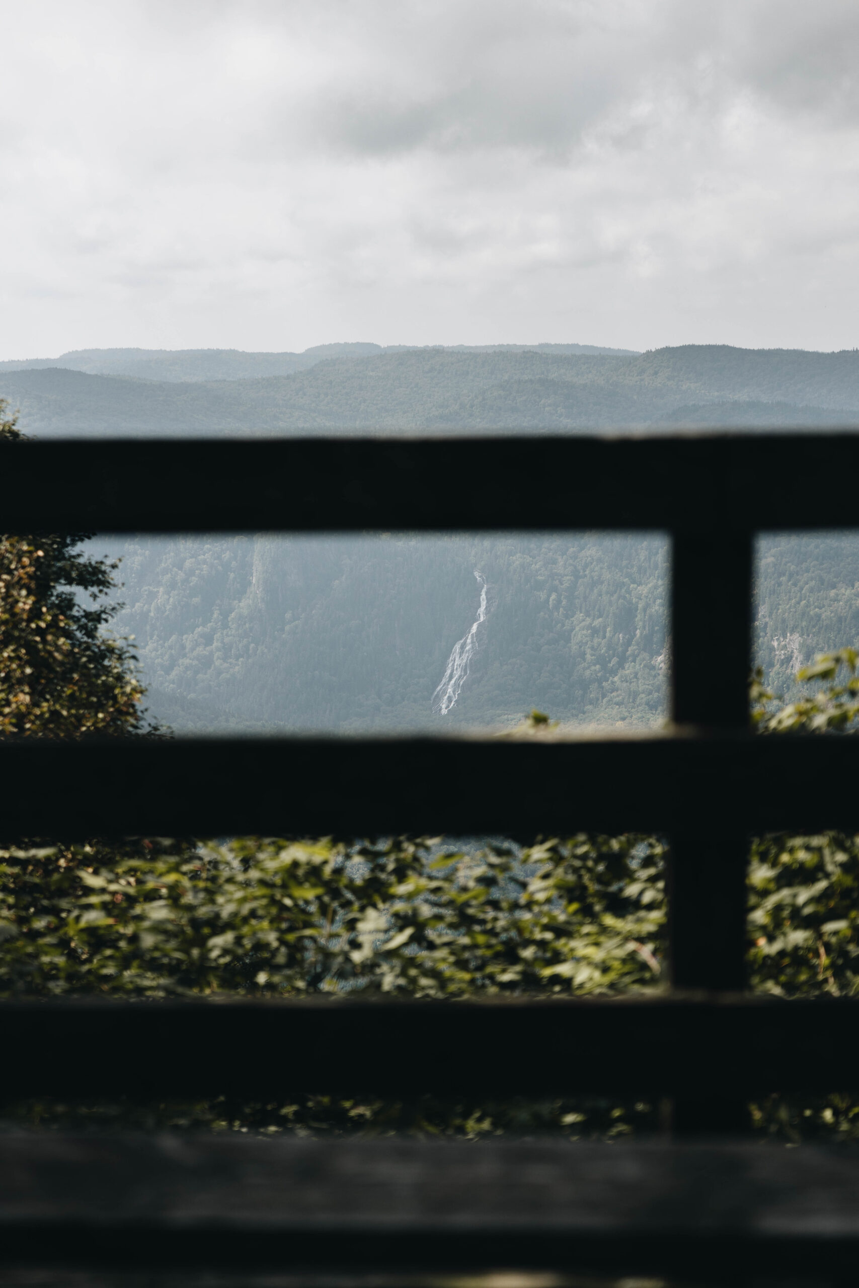
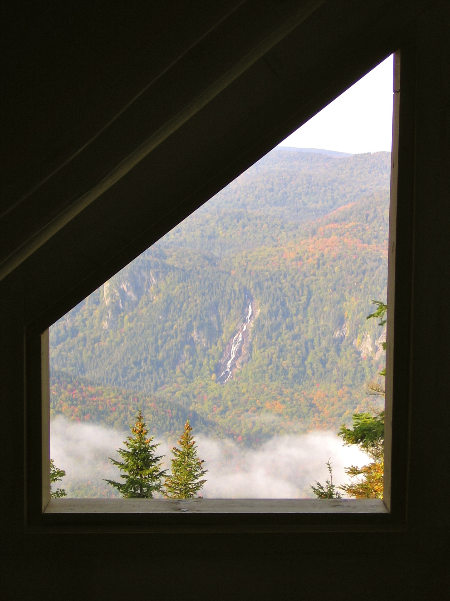
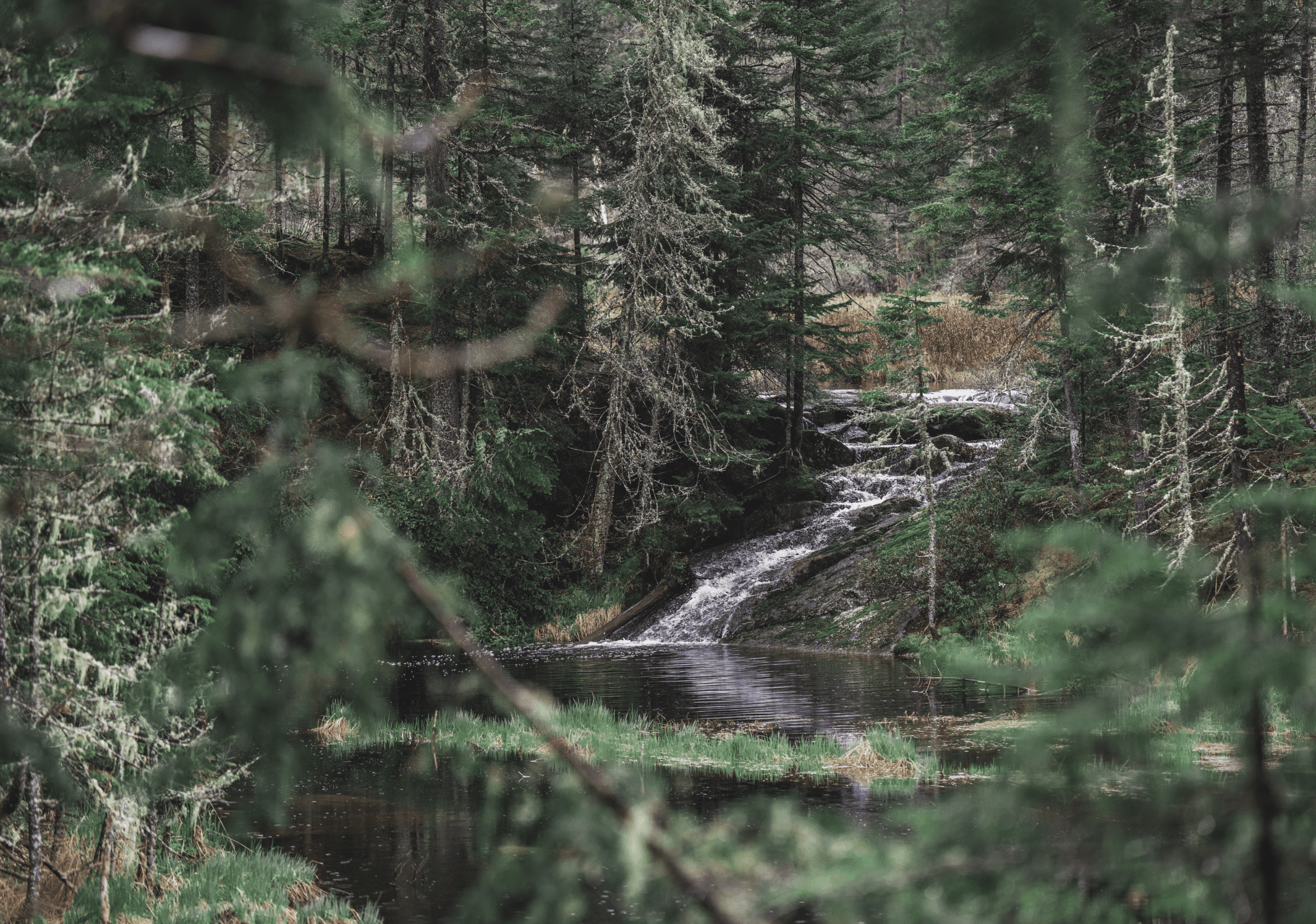
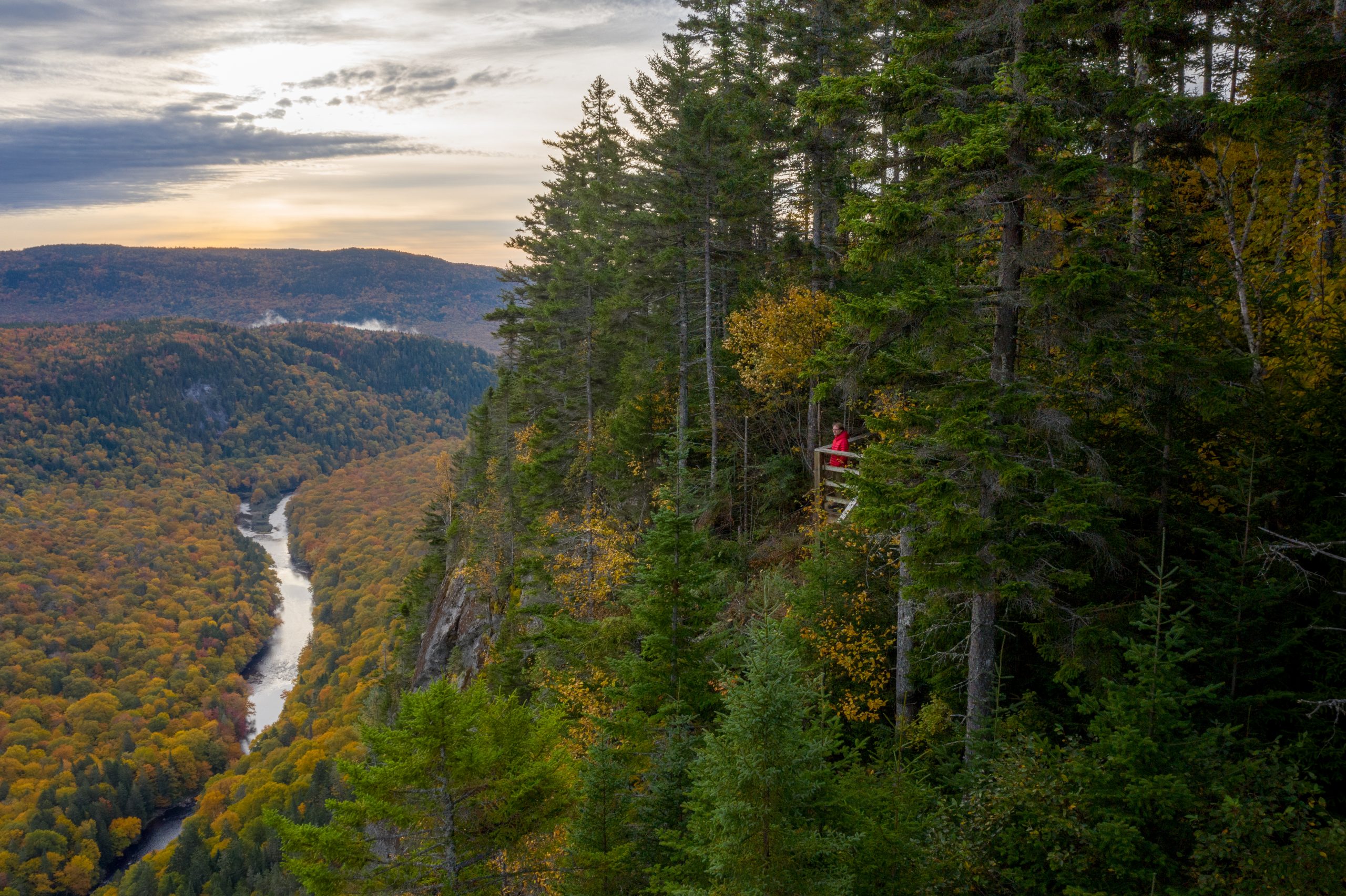
By far the most iconic trail in VBN, this accessible and immersive route follows the river its entire length, leading you to the spectacular Delaney Falls—an impressive natural force that captivates and leaves a lasting impression, no matter your age or experience. This segment represents the most popular itinerary in the Valley. Bras-du-Nord trail continues beyond the falls for hikers who wish to extend their adventure.
Nearby accommodations

Phoenix Trail
5,5 km
100 m
1h45 to 2h45
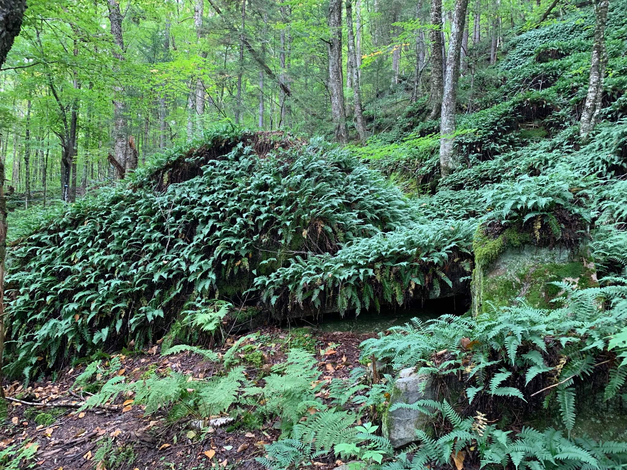
This short, intimate trail offers a pleasant change of scenery as hikers surrender to the richness of the surroundings. The forest is luminous, lush and bordered by a rocky cliff.
Outside the opening hours of the Accueil Cantin and the Accueil Shannahan, we ask hikers to pay the access fee to our Accueil Saint-Raymond (Roquemont).
Nearby accommodations
Hauteur loop Trail
7 km
285 m
2h15 to 3h15
The Boucle de la Hauteur trail is a relatively accessible mountain experience of pure delight. The ascent takes you past a magnificent creek lined with tall cedars, and leads to superb panoramas of the gently flowing river in the distance.
Outside the opening hours of the Accueil Cantin and the Accueil Shannahan, we ask hikers to pay the access fee to our Accueil Saint-Raymond (Roquemont).
Nearby accommodations

Sentier du Montagnard
7,7 km
315 m
3h to 4h
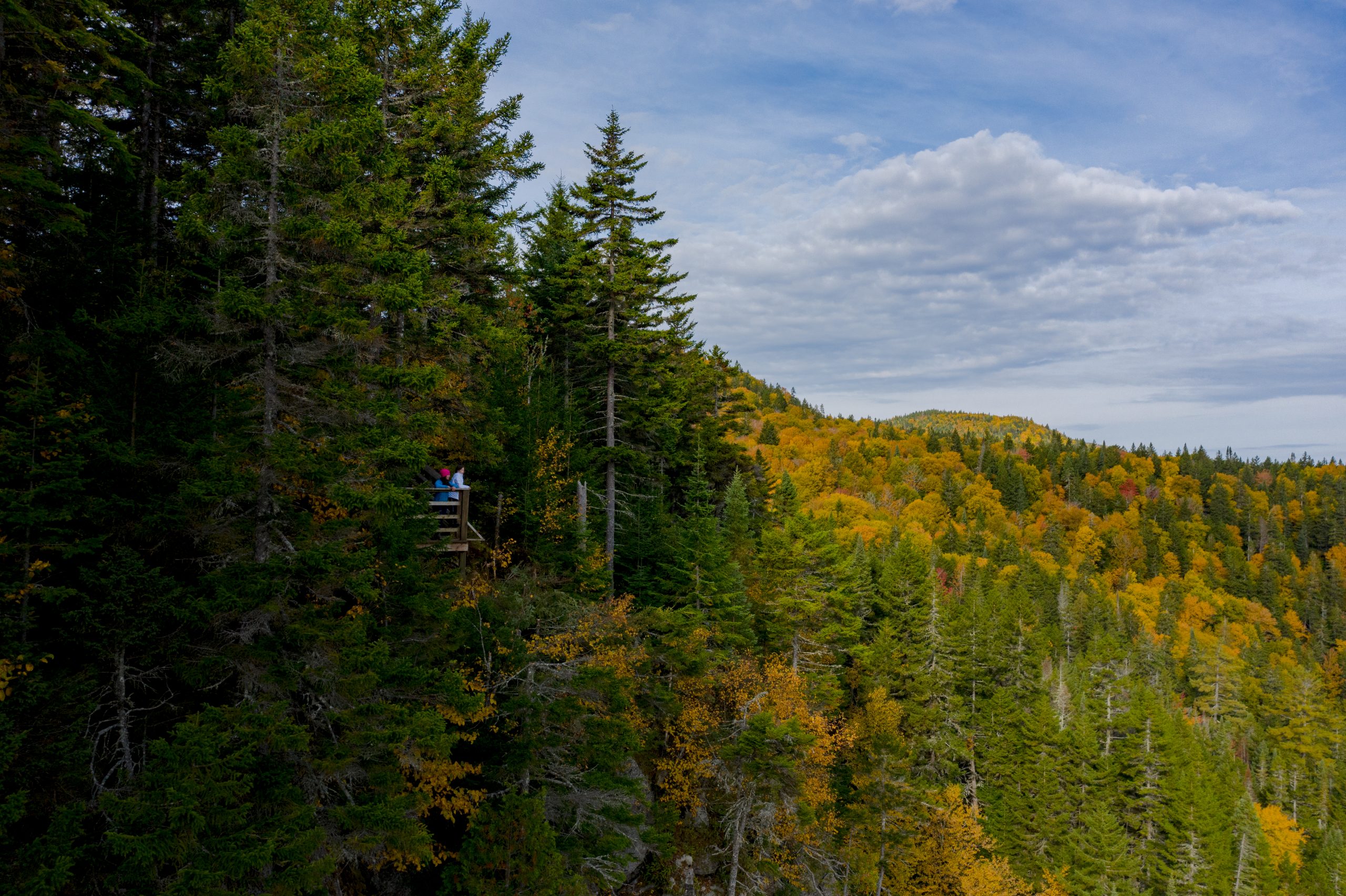
The round trip to the Montagne Art shelter offers a physically rewarding challenge and is a prime location to admire the valley’s pastoral side through spectacular viewpoints. It’s an ideal trail for trail running enthusiasts.
Outside the opening hours of the Cantin and Shannahan Welcome Centers, we kindly ask hikers to pay their access fees via Endorphine.
Nearby accommodations
Bras-du-Nord Trail
Until Delaney Cabin
13.2 km
361 m
3h to 5h
This section of the Bras-du-Nord trail is a favorite with hikers because it offers such a varied hiking experience. From the peaceful stretch along the river to Delaney Falls, to the straightforward climb up to one of the Valley's most striking viewpoints, hikers will come across a wide range of scenery.
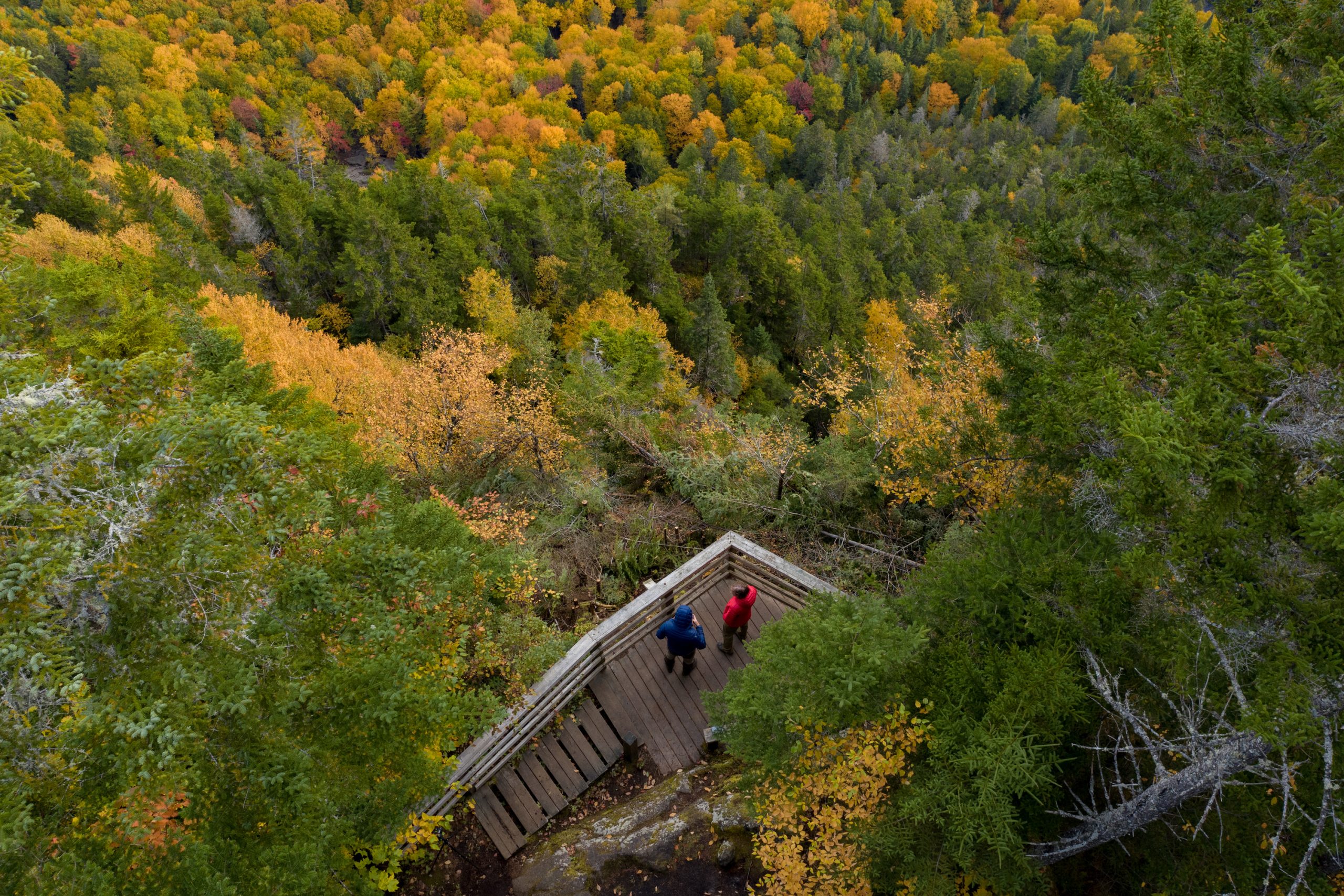
The Escalier des Pas de Géants is an interesting short alternative to the Bras-du-Nord trail.
- This section of trail is 250 metres long and 900 m from Delaney Falls;
- The Escalier des Pas de Géants is a natural stone staircase built by the Projet En Marche team;
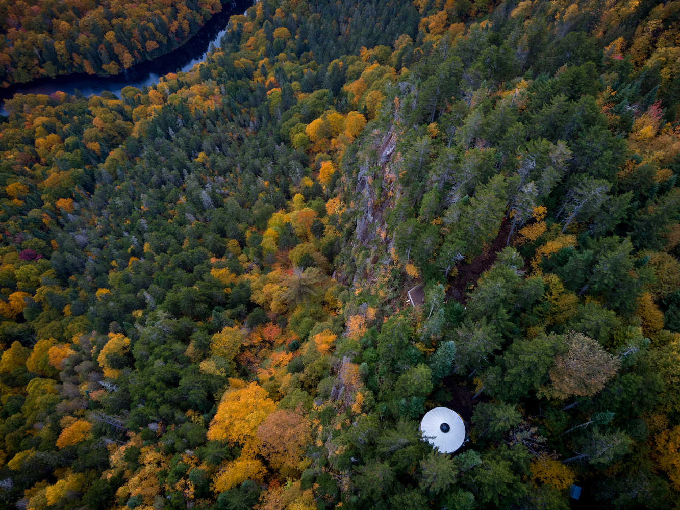
- At the top of the Escalier, you have two options: branch off to see Delaney Falls (650 m) or continue on to the Delaney Yurt lookout.
Nearby accommodations
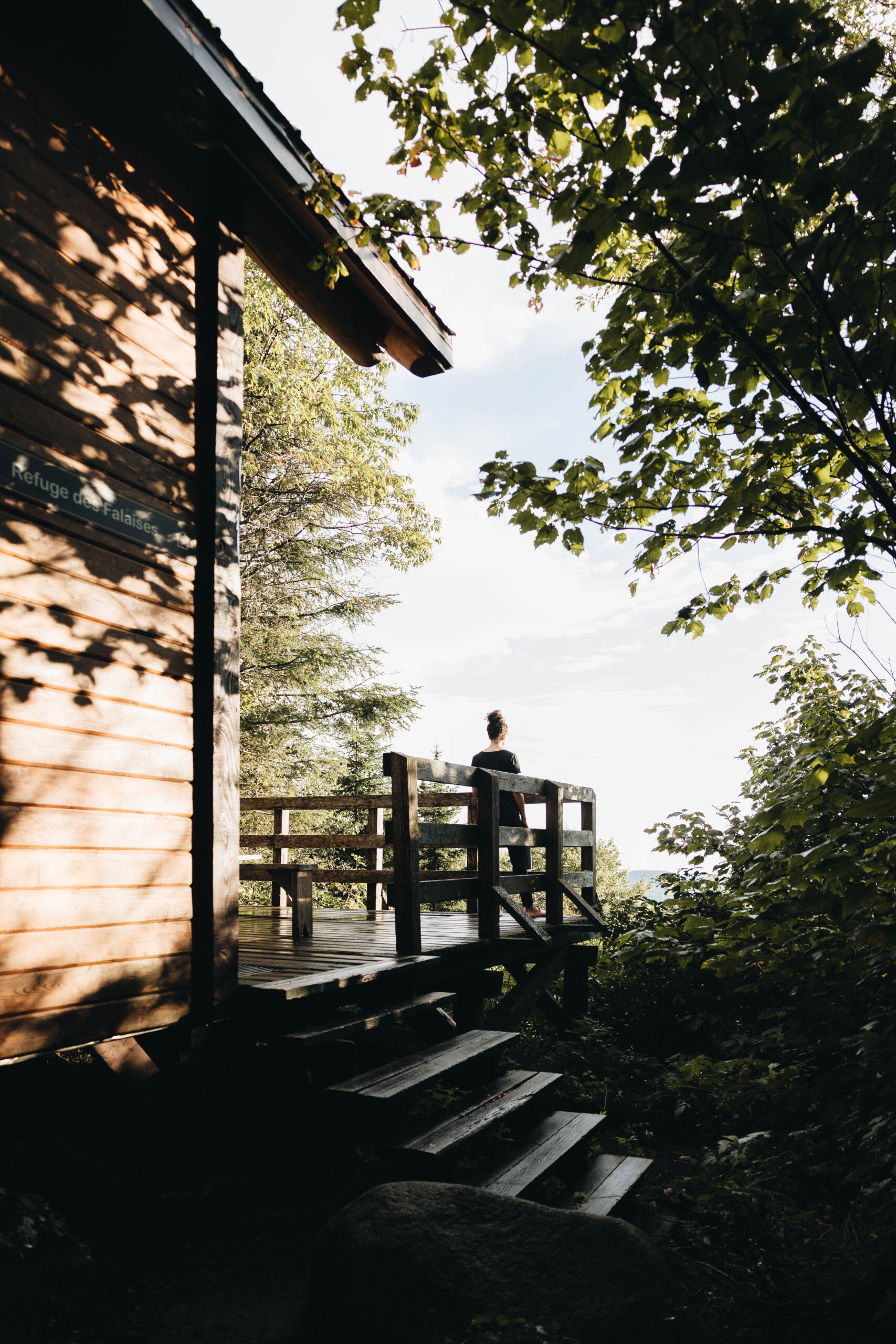
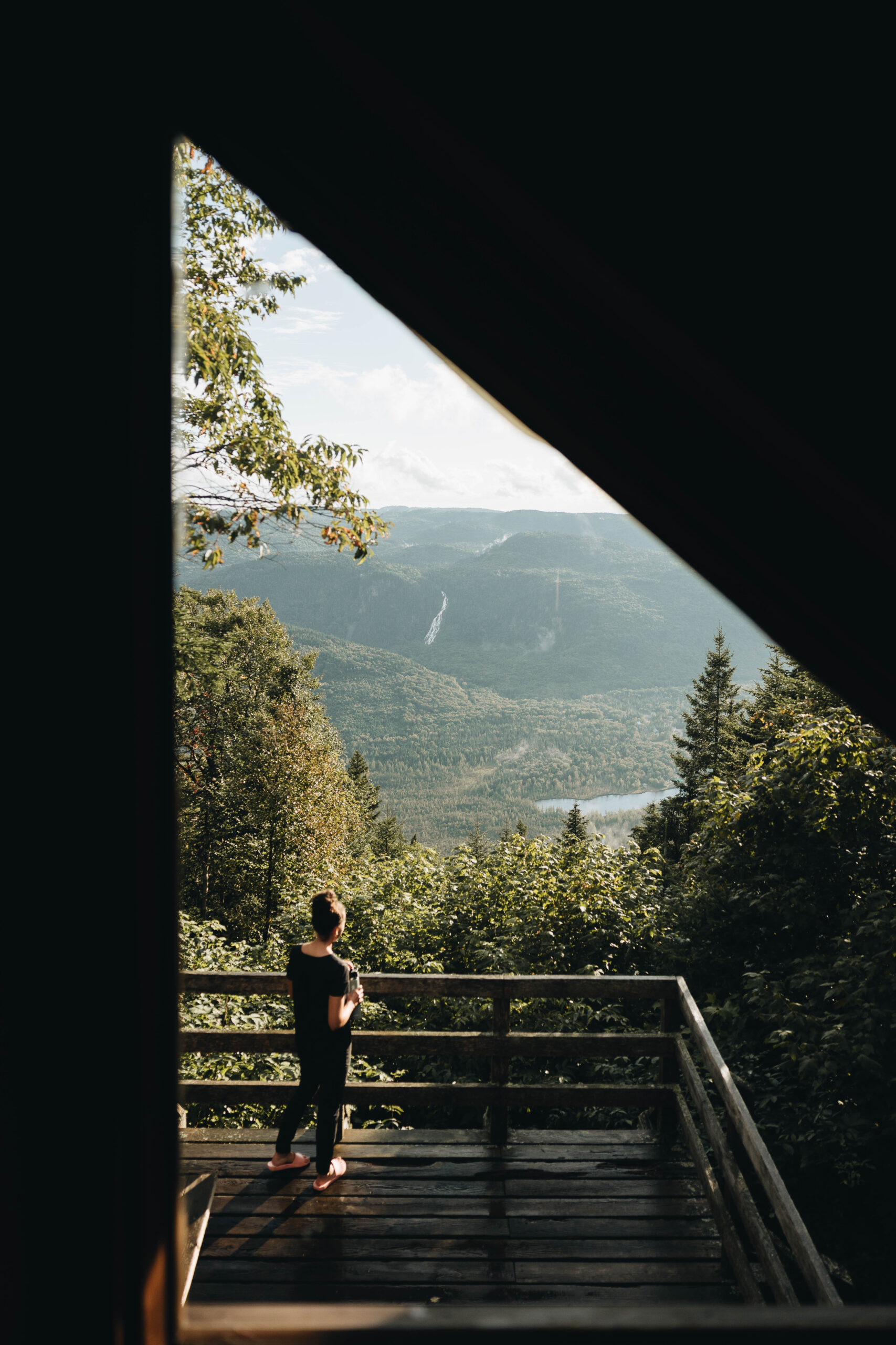
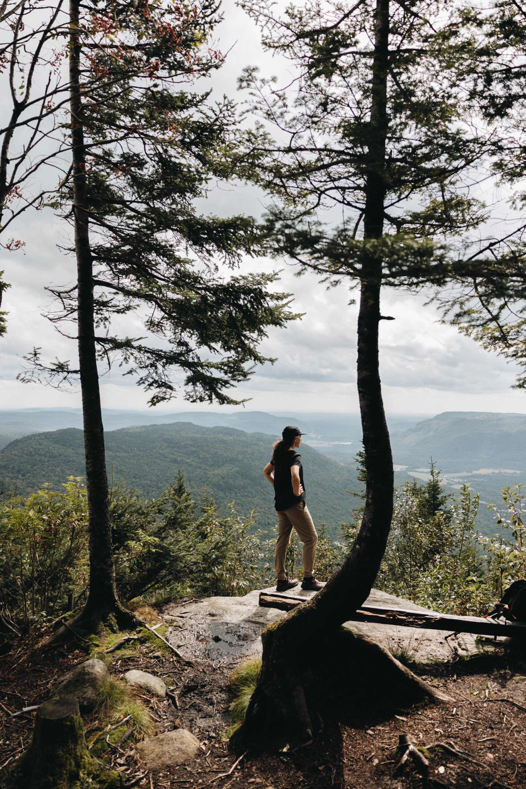
Falaises Trail
17 km
687 m
5h to 7h
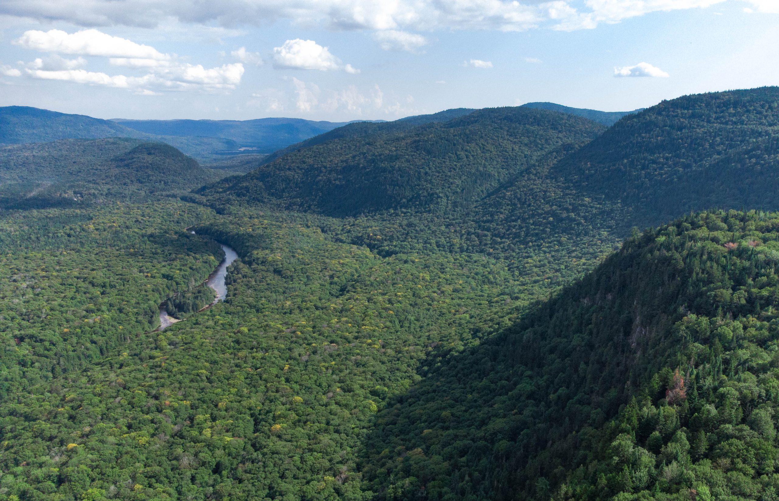
Highly spectacular, this trail is a classic must for hiking enthusiasts. The sustained ascent, punctuated by stone steps carried by hand, guides the hiker to one breathtaking view after another from the top of the ridge. Once at the summit, the trail softens to lead to the Falaises refuge, where Chute Delaney offers a silent spectacle on the other side of the valley. From Cap Bédard, country plains and valleys precede the St. Lawrence River and the South Shore on a clear day.
Outside the opening hours of the Accueil Cantin and the Accueil Shannahan, we ask hikers to pay the access fee to our Accueil Saint-Raymond (Roquemont).
Some trail sections can be interesting alternatives to the original trail!
The Petit Bûcher trail:
- 1.8 kilometers;
- Alternative at kilometer 3 of the Falaises path, to reach the shelter more quickly;
- This portion of the trail, which is not very steep, is mainly a forest track.
The Grand Bûcher trail:
- 4.5 kilometers;
- Loop at the end of Cap Bédard.
Nearby accommodations
Philosore Trail
With stops at the L'Orignal and Philosore huts
30.2 km
200 m
9h30 to 13h30
The Sentier du Philosore trail is undoubtedly the most authentic nature immersion in the Vallée Bras-du-Nord hiking network. This wild trail imbues walkers with serenity, bringing them back to their roots with the rhythm of their footsteps. This long hike is intended for experienced hikers only. Consult the long hike questionnaire.
The starting point (registration) is our St-Raymond Reception (107 Grande Ligne).
Nearby accommodations
Plan Your Trip
SECTORS MAPS
Important information
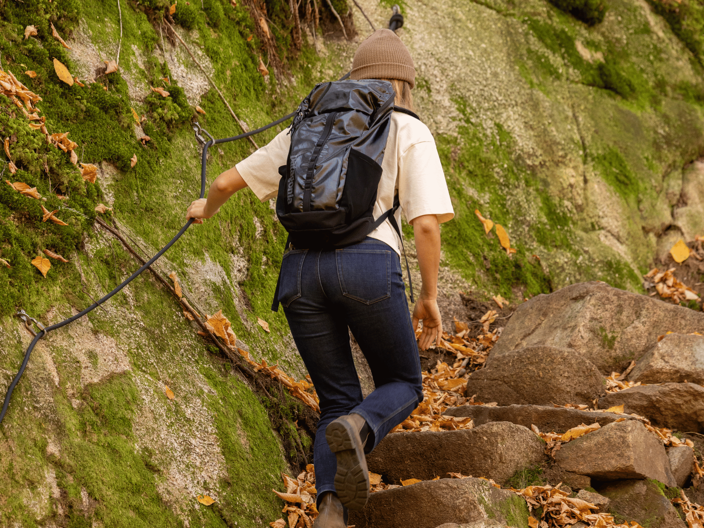
Recommended equipment
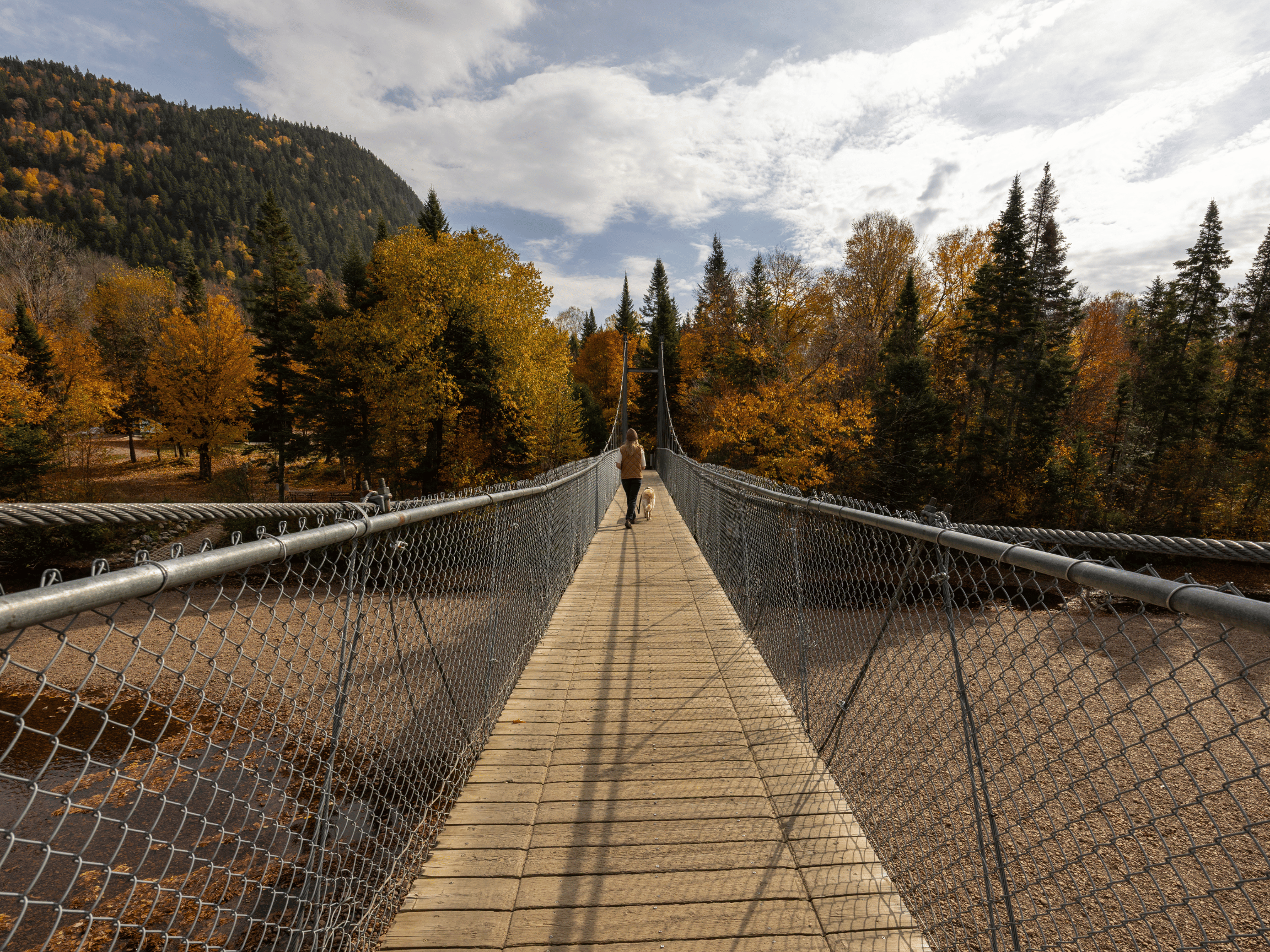
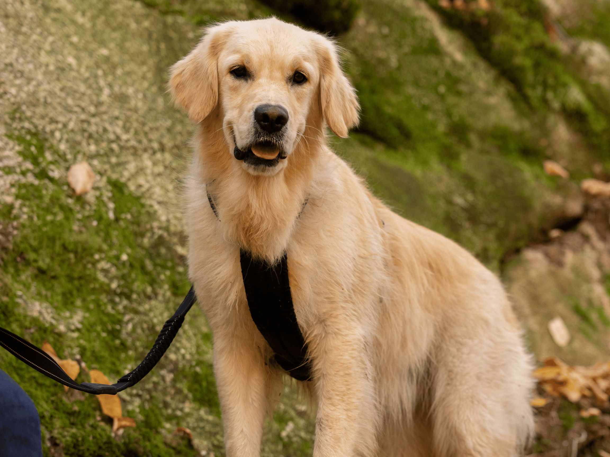
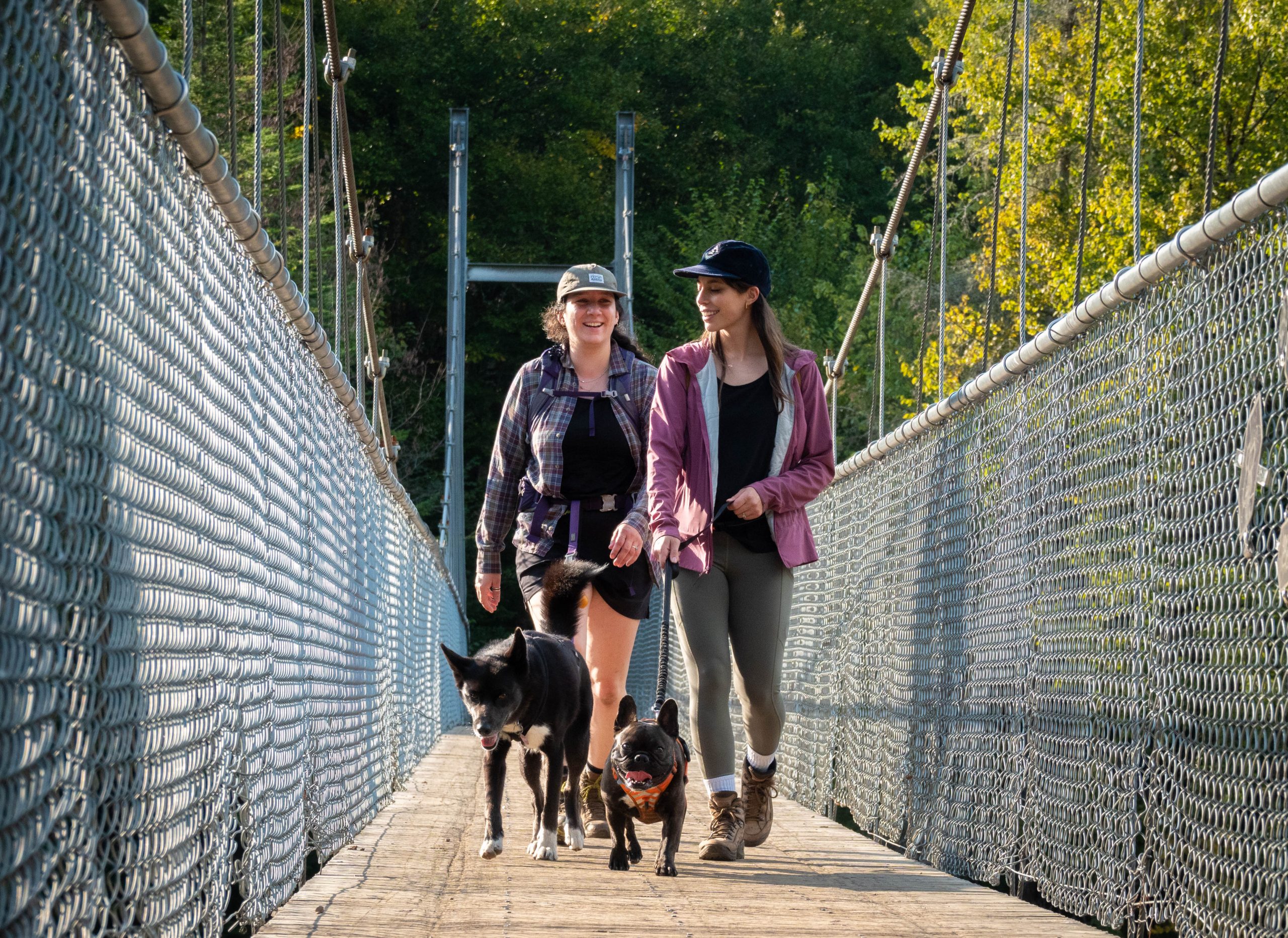
Dog policy


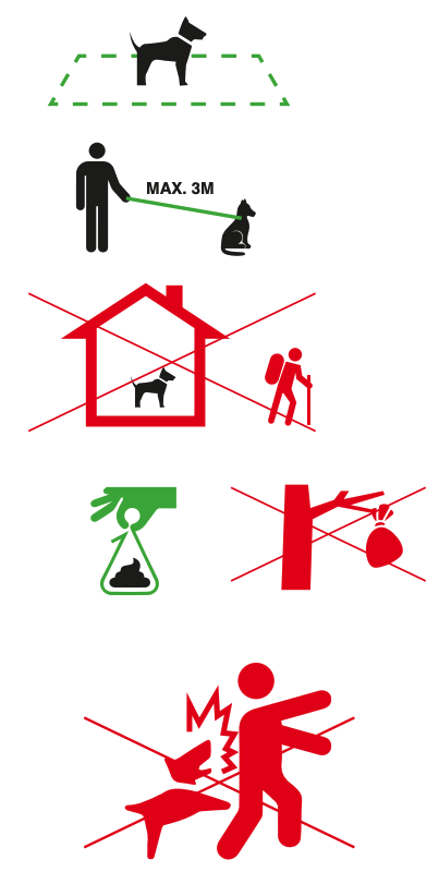 Guidelines for dog owners:
Cancellation policy

;)

Crossing the Philosore
A 3-day immersion — a unique and intimate connection with nature!
From
115.50$
per person
Rates
Daily Access |
||||
|---|---|---|---|---|
Adult(18+) 11,21$ |
Jr(ages 13 to 17) 7,75$ |
Child(ages 7 to 12) 4,83$ |
Toddler(6 years and under) FREE |
Family(2 adults and their children) 27,00$ |
Annual Pass |
||
|---|---|---|
Adult53,67$ |
Family(2 adults and their children) 110,81$ |
St-Raymond ResidentProof of residence required 50% off the current rate |
Prices are subject to change without notice.
Sales tax, lodging tax, and 1% for the Planet extra.
Subscription valid for 1 year from the date of purchase.
Prices are subject to change without notice.
Sales tax, lodging tax, and 1% for the Planet extra.
)
Accès Nature Program
Offer Ended
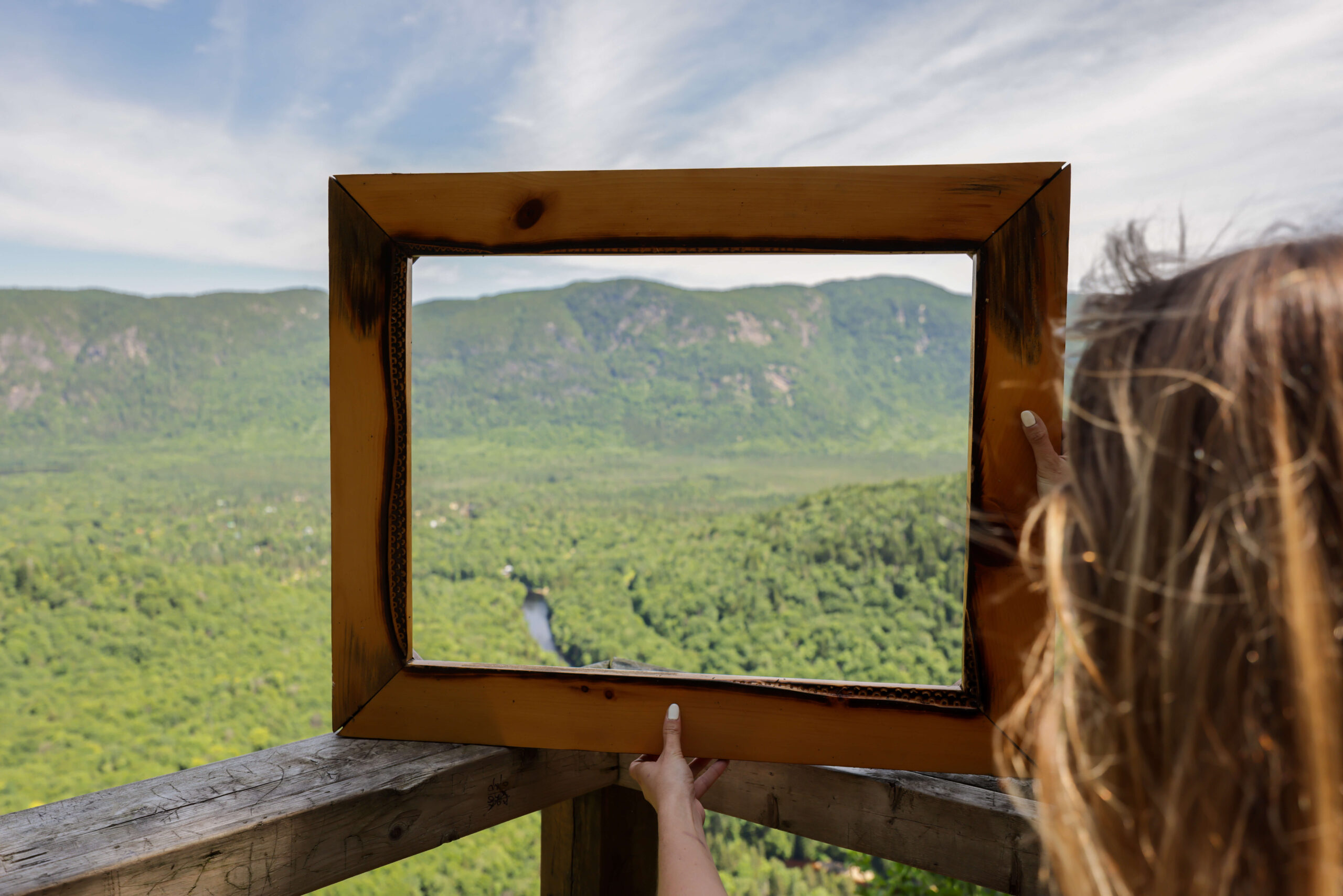
A picture is worth a thousand words

Watch our videos
Alexis le Randonneur at Vallée Bras-du-Nord
Stay on site
Online booking
Required
Right of access is mandatory to access activities. You must purchase your daily access online and present your QR code upon arrival.
Download the trail map on the app Ondago.
)